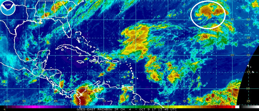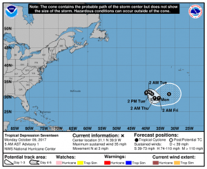
Ophelia, the 15th named tropical cyclone of the 2017 Atlantic Hurricane Season, has formed over the open waters of the central Atlantic Ocean. According to the National Hurricane Center (NHC), the convective pattern of the small cyclone has continued to improve since the previous advisory, with some thunderstorm activity having developed near or over the center, along with an increase in curved banding features in the eastern semicircle. Due to these structure changes and improved satellite-derrived intensity estimates, the NHC upgraded the system from depression to tropical storm.
Ophelia should remain a fish storm over its lifetime. The steering flow surrounding Ophelia is expected to continue to be weak for the next day or so while the cyclone remains entangled with a weak upper-level low located just to its north and northwest. As a result, only a slow drift toward the northeast and and east is forecast. In about 36 hours from now, increased mid-level ridging to the northwest of Ophelia should induce a motion toward the east-southeast and southeast through the next 72 hours, after which a broad mid-latitude trough is expected to gradually accelerate the cyclone toward the northeast at a forward speed.

The NHC expects a slow but steady strengthening of Ophelia over the next 5 days. In four days, the NHC expects Ophelia to reach hurricane status. While forecast to become at least a Category 1 hurricane, Ophelia should not pose a threat to any landmass this week.