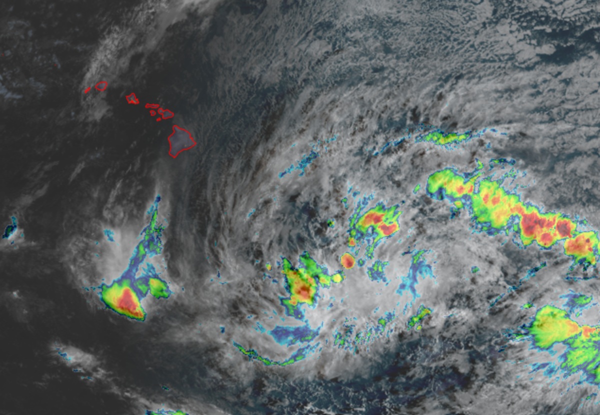
A very complicated meteorological set-up is taking place in the unusually warm and hyperactive environment created by El Nino in the around around Hawaii; it is possible a tropical storm or hurricane could bring direct or indirect impacts to Hawaii later this week. Authorities are encouraging people in Hawaii to remain informed, get prepared, and be properly supplied ahead of possible impacts from what could be a storm named Nolo.
The National Hurricane Center (NHC) is closely monitoring an area of disturbed weather east-southeast of the Hawaiian Islands that was once former Tropical Depression 15-E. According to the NHC, satellite-wind data indicate the low-level circulation of the remnants of Tropical Depression Fifteen-E has become better defined. The NHC warns, “Environmental conditions are forecast to become conducive for further development, and a tropical depression is likely to form around midweek while it moves slowly west-northwestward or northwestward.” They add, “Interests in the Hawaiian Islands should monitor the progress of this system.”
Computer forecast models have given an assortment of possibilities from this system, with some tracking the storm into the islands, or just close enough to create significant flood and wind problems.
The National Weather Service office in Honolulu on the island of Oahu expresses concern for the storm in their morning forecast discussion. “Uncertainty is running significantly higher than normal as Former TD-15-E lurks well southeast of the islands and presents as a disorganized area of showers and thunderstorms,” they wrote, adding, “General consensus exists that activity will organize during the first half of this week and advance in the general direction of the Big Island thereafter.” Beyond that, the meteorologists aren’t completely certain what will happen next.
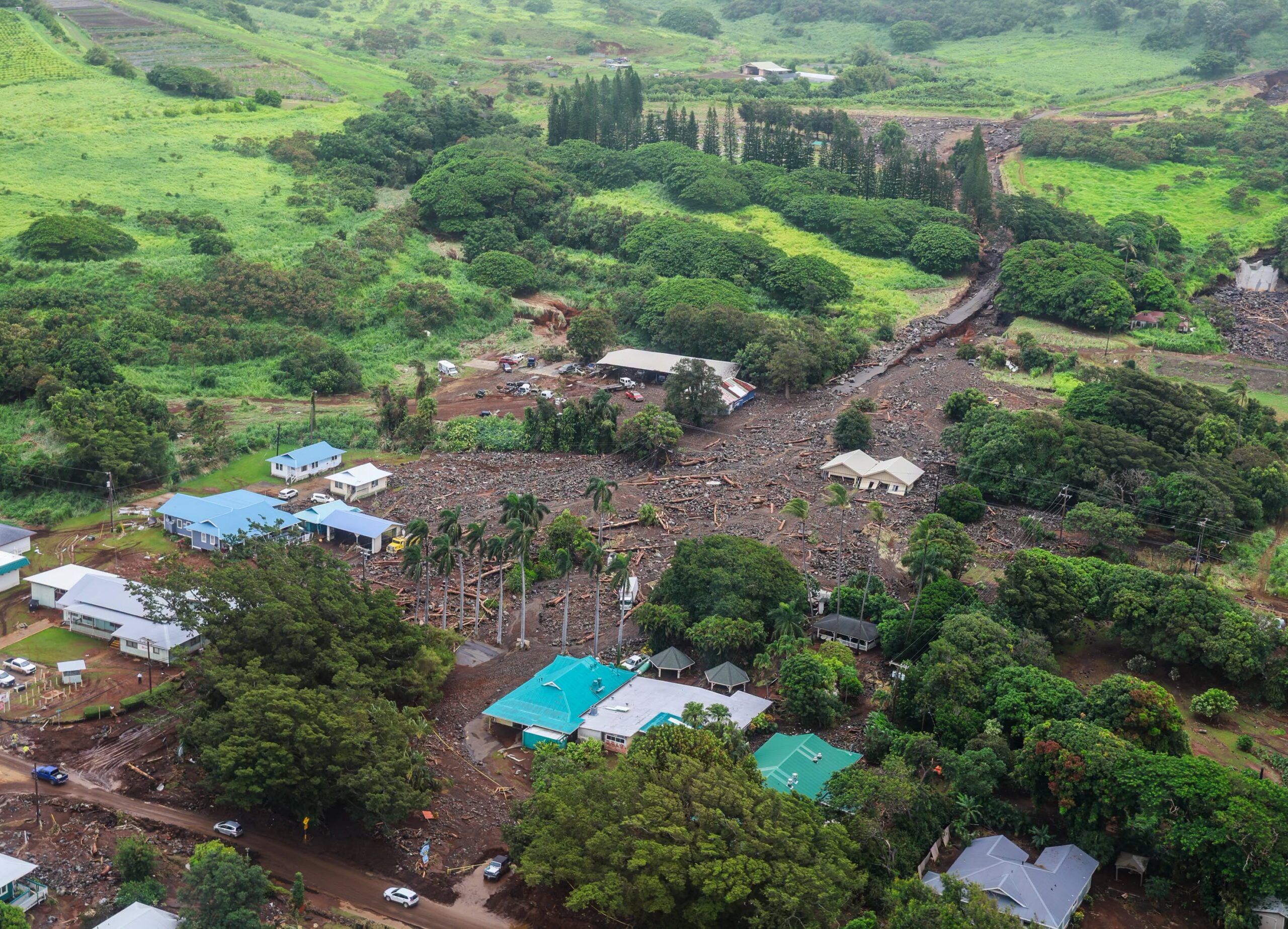
“Initially, uncertainty in system movement likely stems from the current lack of organization and typical uncertainty related to the cyclone`s development sequence,” says the National Weather Service. “However, by the end of the week, considerable differences arise among the models regarding the evolution of governing mid-latitude troughing as it approaches the state from the north.” This trough will be key to determining the placement of the convergent moisture plume wrapping around the northeast / east periphery of the potential tropical cyclone.
Where the storm develops, how strong it gets, and where it goes remain unknown and conflicted computer forecast model output doesn’t bring much clarity to the situation yet. The National Weather Service says, “…modeled rainfall totals run the gamut from being measured in inches over a day or so to measured in feet over several days. Accordingly, there is concern that the heavy rainfall in the case of a closer brush with this system will occur over the same areas impacted by Hurricane Lala, though this remains far from certain.”

Hawaii’s Emergency Management Agency, HI-EMA, is urging people to be prepared for whatever the balance of the hurricane season has up its sleeves for Hawaii. People should prepare window ad gable vent coverings, seal exterior gaps, bring in or tie down loose outdoor objects, trim weak or overhanging tree branches, fill up on gas, charge devices, and top-up drinking water containers, and supply with 3 weeks worth of water, food, medicine, and fuel in case storm conditions impact the islands.
In a briefing to statewide partners this morning, the National Weather Service says there’s an elevated risk of flash flooding on Wednesday, Thursday and Friday and an elevated risk of wind damage Thursday and Friday for the Big Island of Hawaii from this system. The Big Island would likely be the first island to be impacted by this system should it form and move towards the state.
