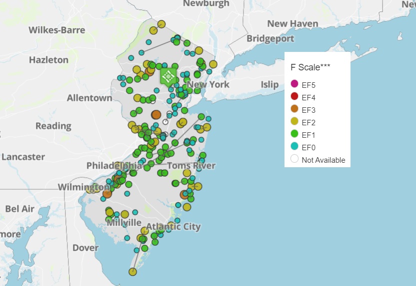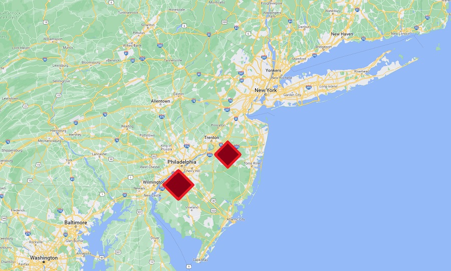
The National Weather Service has confirmed that two tornadoes struck New Jersey yesterday and their Storm Prediction Center is warning more may be on the way for Saturday. This brings the total count of tornadoes in New Jersey in 2023 to 13, with the record being 18 in 1989. Tornado records in New Jersey only go back to 1950.
The Mount Holly, New Jersey based National Weather Service office conducted storm surveys and found that tornadoes had in fact touched down in the southern New Jersey communities of East Greenwich Township in Gloucester County and the Pemberton Township / Browns Mills Section of Burlington County. No injuries or deaths were reported.
The first tornado hit East Greenwich at 2:08 pm. With estimated peak winds of 95 mph making it an EF-1 rated tornado, this tornado traveled 0.66 miles and had a width of 70 yards. The tornado lifted up or dissipated at 2:10 pm.
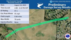
The first damage was noted at residences along Tomlin Station
Road, where the top half of a camper was blown off. From there,
the tornado snapped a tree on the edge of a crop field. A path of
convergent crop damage was noted in the field continuing across a
small lake into the next field. At the other end of the field,
tree damage was noted in between Nicole Road and Hazel Court.
Siding was blown off one residence on Hazel court. Also in this
neighborhood there was roof damage to a backyard shed.
The second tornado hit in Pemberton around 3:08 pm. Also rated an EF-1 tornado with 90 mph winds, the tornado traveled 0.31 miles and had a width of 100 yards.
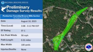
According to the National Weather Service and its Storm Survey, tornado damage was noted at residences along Margaret Street. This matches with a security camera at a residence that showed the condensation funnel of a tornado moving through this area at about 3:10. Extensive tree damage was observed in the 100 block of this street. A backyard shed was shifted several feet and a few shingles were blown off the roof of one house. Across the street a small section of siding was blown off the side of a house. Downstream on Ridge Road, a large tree was uprooted. Additional tree damage, including two trees snapped, was noted on North Whites Bogs Road.
Enhanced Fujita Scale or EF Scale, which became operational on February 1, 2007, is used to assign a tornado a ‘rating’ based on estimated wind speeds and related damage. When tornado-related damage is surveyed, it is compared to a list of Damage Indicators (DIs) and Degrees of Damage (DoD) which help estimate better the range of wind speeds the tornado likely produced. From that, a rating (from EF0 to EF5) is assigned. In general, EF-0 tornadoes have 65-85 mph winds, EF-1 have 86-110 mph winds, EF-2 have 111-135 mph winds, EF-3 have 136-165 mph winds, EF-4 have 166-200 mph winds, and EF-5 tornadoes have winds in excess of 200 mph. The EF Scale was revised from the original Fujita Scale to reflect better examinations of tornado damage surveys so as to align wind speeds more closely with associated storm damage., with the new scale related to how most structures are designed.
And unfortunately, more severe thunderstorms are possible across portions of the Ohio Valley and Northeast, parts of the Plains region, and the Mid South and southern Appalachians on Saturday.
According to the Storm Prediction Center, a belt of strong mid-level westerlies is forecast to overspread the mid and upper Ohio Valley and Northeast on Saturday, as a short-wave trough initially over the Upper Great Lakes area shifts east to the Northeast. This set-up will help storms develop by afternoon as the warm-sector airmass heats and destabilizes over parts of New York, Pennsylvania, and New Jersey near the warm front. Given moderately strong flow through the lower and middle troposphere, damaging winds are expected with stronger storms as convection moves rather quickly eastward.
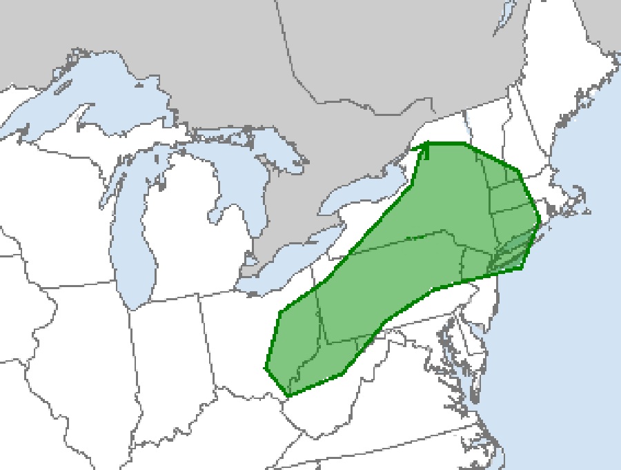
Some increase in storm coverage should continue through the afternoon and persist into the evening. Still, it appears that overall coverage may remain sufficiently sparse so as to limit overall coverage of severe-weather occurrences. Because of that, not everyone will see thunderstorms on Saturday. But those that do could see severe ones, including isolated tornadoes.
The greatest threat of tornadoes on Saturday, according to the Storm Prediction Center, is over southeastern Ohio, northern West Virginia, extreme western Maryland, most of Pennsylvania, northern New Jersey, most of New York including the New York City metropolitan area, most of Connecticut, western Massachussetts, and southern Vermont and New Hampshire.
People in the tornado risk zone should make sure that they can get and act on any Severe Thunderstorm or Tornado Watches or Warnings that could be issued during the day.
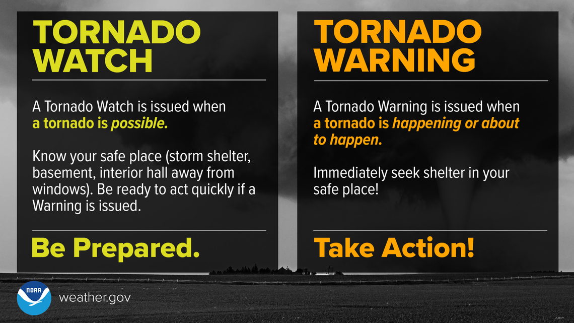
According to the NOAA, in the period from 1950 to June of 2022, there have been a total of 184 reported tornado touch-downs in New Jersey, responsible for 80 injuries, 1 death, and more than $84 million in property damage. In a typical year, New Jersey will see 2-3 tornadoes. However, while the overall volume of severe storms and tornadoes has trended down significantly across the entire United States, the opposite has been occurring in New Jersey. In 2019 10 tornadoes were recorded while in 2020 the number dropped to 4; however, the number rose again to 13 in 2021.
