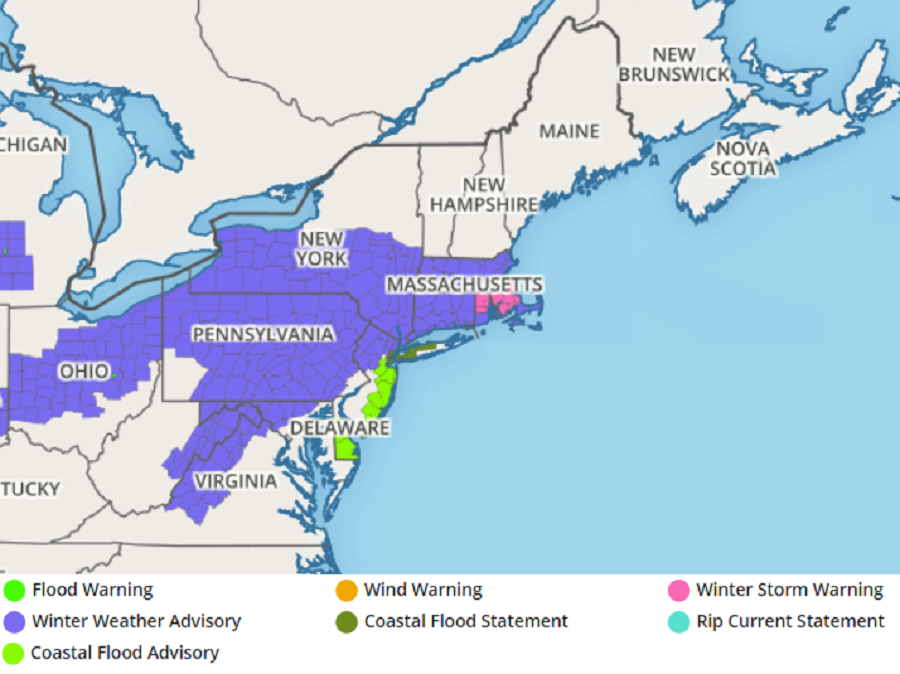
The National Weather Service has issued a variety of advisories and warnings ahead of another messy winter storm that is expected to impact the Northeast over the next 24 to 36 hours. Coastal Flood Advisories have been posted for Delaware Beaches and the Jersey Shore while Winter Weather Advisories are up for northern New Jersey, much of Pennsylvania, central and western Maryland, eastern West Virginia, western Virginia, much of central Ohio, southern Upstate New York, Connecticut, and portions of Massachusetts and Rhode Island. In portions of southeastern Massachusetts and northern Rhode Island, the National Weather Service has issued a Winter Storm Warning.

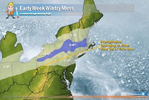
Low pressure moving towards western Pennsylvania now will continue to head east as another low forms off the DelMarVa coast tonight. Between these lows, there is plenty of moisture and temperatures are marginal for either all rain or snow in the Mid Atlantic. Precipitation will arrive from southwest to northeast this evening and be mostly rain across DelMarVa and southern New Jersey, with some sleet possible at the onset. Across the Delaware Valley, a mix of sleet and rain is expected with a change to rain overnight. The Lehigh Valley area will have some snow and sleet and then some freezing rain overnight. The northernmost areas of the Philadelphia suburbs will have sleet and freezing rain with some snow possible. In northern New Jersey, light snow is expected before changing over to sleet and freezing rain near the New York border and changing to plain rain south of I-78. Where temperatures will remain cold throughout the event, accumulating snow is expected over southern Upstate New York, away from the immediate coast in Rhode Island and Connecticut, and in much of Massachusetts. There could be enough cold air and moisture available to drop more than 3″ of snow over central and northern Rhode Island and portions of southeastern Massachusetts. It is because of this threat of slightly heavier accumulations that the National Weather Service Issued a Winter Storm Warning there.
Precipitation will end from southwest to northeast tomorrow as another system prepares to pounce on the area for Wednesday and Thursday. With that next system, it is likely snow will start farther south than tonight’s/Monday’s system; however, it is also likely that midler air will surge farther north, changing snow to an icy mix or plain rain into southeastern New England where only snow is expected tomorrow.