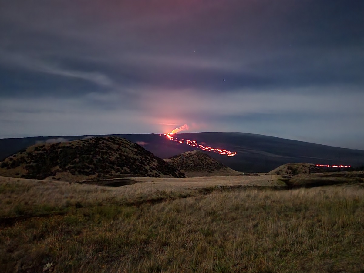
A big earthquake at the world’s largest active volcano yesterday rattled many nerves, especially in light of a swarm of seismic activity that has produced more than 2,000 measurable earthquakes in the last few weeks. But USGS says this big earthquake isn’t a sign of an eruption, but is more a symptom of it’s large mass. The weight of the enormous volcano is immense and USGS scientists say its weight was ultimately responsible for yesterday’s big earthquake on the Big Island of Hawaii.
Mauna Loa is considered the largest active volcano on Earth, rising to 13,681 feet above sea level. Mauna Loa rises up from the ocean floor of the Central Pacific at a depth of about 3 miles. Because of the volcano’s significant mass, the ocean floor directly beneath Mauna Loa is depressed by another 5 miles. According to USGS, this places Mauna Loa’s summit about 56,000 feet above its base; the enormous volcano covers half of the island of Hawaii, also known simply as the “Big Island of Hawaii.”
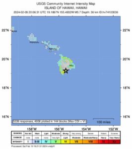
Yesterday, Friday, February 9, at 10:06 am local time, a magnitude 5.7 earthquake occurred 1.25 miles southwest of Pāhala on the Island of Hawaii at a depth of 23 miles below sea level. In a statement released by USGS’s Hawaiian Volcano Observatory (HVO), they said, “The earthquake had no apparent impact on either Mauna Loa or Kilauea volcanoes. Numerous aftershocks have been felt and are expected to continue.”

HVO said this strong earthquake was likely associated with “lithospheric flexure” caused by the weight of the Hawaiian Islands on the oceanic lithosphere. A Lithospheric flexure refers to the bending or curving of the Earth’s lithosphere; the lithosphere is a scientific identifier for the outermost shell that includes the crust and the outermost mantle of our planet, also known as the ground we walk on. Lithospheric flexure can be caused by many forces, the most popular being caused by glaciers. The enormous weight of icy glaciers, or the changing thickness of such icy masses, puts different kinds of force onto the lithosphere. The lithosphere rests on the asthenosphere, which is a viscous layer that in geological scales behaves like fluid. Usually there is an isostatic equilibrium between the asthenosphere and the lithosphere but every now and then due to changing forces, typically from the weight above, this equilibrium falters and things begin to move.
In the case of Hawaii and its volcanoes, especially Mauna Loa, the world’s largest, there is a large amount of weight flexing the lithosphere. And according to HVO, yesterday’s earthquake was a release of energy associated with that flexing.
While no injuries were reported in Hawaii from the strong earthquake, there were damage reports, especially near the epicenter in the town of Pahala, where items tumbled off of shelves and counters, things broke, and buildings and concrete pads cracked. Soon after the quake hit, NOAA’s Tsunami Warning Center said there was no localized tsunami threat from the earthquake; Hawaii County Civil Defense broadcast that message across the island. Unlike other earthquakes that have impacted Hawaii in recent weeks, this one was strong enough to be felt across the entire state, with even residents of Kauai reporting they felt shaking.
USGS says this earthquake, while not far away, isn’t related to the abundance of earthquakes felt in recent days from nearby Kilauea Volcano. USGS says more than 3,000 earthquakes were measured from that seismic event which was tied to an intrusion of magma on the southwest side of Kilauea which hugs Mauna Loa’s eastern flank.
.According to HVO, a significant amount of magma has been intruded south and southwest of the summit caldera since Saturday, January 27. Since then, USGS believes about 40 million cubic yards or roughly 30 million cubic meters of molten rock has made its way into the region, below the surface.
“As long as this intrusion continues, there is a chance that an eruption could occur within or southwest of the caldera with little advanced warning,” HVO warns. However, on February 3, HVO announced, “The intrusion of magma into this area appears to have slowed, and the likelihood of an eruption has decreased.”

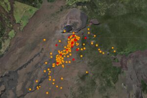
After a surge of earthquake activity last week in which more than 500 earthquakes struck over a period stretching only hours, earthquake counts have dropped from 20-30 events per hour to 5-10 events per hour and earthquakes are no longer clustering in the vicinity of Pu‘ukoa‘e, but are dispersed more widely from the summit to the southwest. Depths remain consistent, less than a mile to 2.5 miles below the surface and magnitudes range a maximum of 3+ to less than 1.
According to HVO, Global Positioning System (GPS) instruments have recorded up to 8 inches of horizontal motion at stations around the Southwest Rift Zone and immediately to the south along the Koa‘e fault zone.
“Patterns of earthquakes and ground deformation indicate that magma intruded beneath the south end of the caldera beginning on the morning of January 27th. This activity waxed and waned until Wednesday, January 31, when greatly increased seismicity and tilt indicated a dike was being emplaced, triggering episodic felt earthquakes and rockfalls within Halema‘uma‘u,” said HVO in a statement today. “By 5 p.m. HST on January 31st, seismicity migrated southwest of the caldera towards the Ko‘ae fault system and tiltmeters in the south caldera area began to record strong deflation. Modeling of tiltmeter, GPS, and satellite radar interferometry (INSAR) images suggest that magma within the initial dike migrated southwest into the new intrusion as it opened beneath the Ko‘ae fault zone,” wrote HVO. But with overall decrease in seismicity and deformation seen there last weekend, HVO said data suggests that this most recent event was waning. ”
With the big earthquake from Mauna Loa yesterday and the swarm from Kilauea earlier this month, there is no change in the status of either volcano. USGS and HVO scientists continue to closely monitor both.
Currently, Kilauea is at a Volcano Alert level of ADVISORY while its Aviation Color Code is YELLOW. Mauna Loa is at NORMAL level while its color code is GREEN.
In the U.S., the USGS and volcano observatory units are responsible for issuing Aviation Codes and Volcanic Activity Alert Levels. Aviation Codes are green, yellow, orange, or red. When ground-based instrumentation is insufficient to establish that a volcano is at a typical background level of activity, it is simply “unassigned.” While green means typical activity associated with a non-eruptive state, yellow means a volcano is exhibiting signs of elevated unrest above known background levels. When a volcano exhibits heightened or escalating unrest with the increased potential of eruption, it jumps to orange. Finally, when an eruption is imminent with significant emission of volcanic ash expected in the atmosphere or an eruption is underway with significant emission of volcanic ash into the atmosphere, the code becomes red. Volcanic Activity Alert levels are normal, advisory, watch, or warning. As with aviation codes, if data is insufficient, it is simply labeled as “unassigned.” When the volcano is at typical background activity in a non-eruptive state, it is considered normal. If the volcano exhibits signs of elevated unrest above background level, an advisory is issued. If a volcano exhibits heightened or escalating unrest, a watch is issued while a warning is issued when a hazardous eruption is imminent.