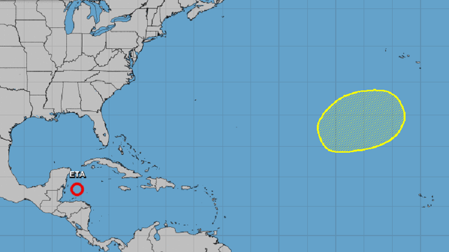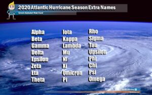
While Eta is prompting the issuance of Tropical Storm Watches in Florida, eyes are also on the open waters of the Atlantic where a new tropical or subtropical cyclone could be forming in the coming days. Eta helped tie the record with 2005 for most number of named tropical cyclones in the Atlantic Basin within a single hurricane season; should a new named storm form, it would break that 2005 record …and be called Theta.
According to the National Hurricane Center and their latest Tropical Outlook, a disturbance in the Atlantic warrants monitoring. According to the Tropical Outlook, a broad non-tropical low pressure system could form several hundred miles southwest of the Azores early next week. Over time, this system could gradually obtain some subtropical characteristics as it moves slowly northeastward over the northeastern Atlantic Ocean. Fortunately, development, if any will be slow; more good news: the system is far from any land and won’t be an immediate threat to anyone for quite some time should development occur.

The National Hurricane Center doesn’t expect tropical cyclone formation here over the next 48 hours, but believes those odds grow to 20% for formation over the next 5 days.
If a named cyclone forms, it would be called Theta –just like Eta, it would be the first time this Greek letter was ever used to name an Atlantic storm. While 2005 and 2020 have the same number of named storms, 2005 actually had one unnamed storm that qualified for a name, but that storm was classified in the post-season. The National Hurricane Center will continue to name new tropical or subtropical storms after letters in the Greek alphabet until the end of December. The hurricane season officially ends on the last day of this month, but storms have been known to form in December too; that was the case in record-breaking 2005.