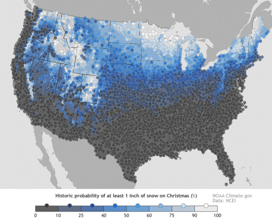
While some may be dreaming for a white Christmas, many are wondering if their dreams will turn into forecast reality. The map here shows the historic probability of there being at least 1 inch of snow on the ground in the Lower 48 states on December 25 based on the latest (1981-2010) US Climate Normals from NOAA’s National Centers for Environmental Information (NCEI).
The 1981–2010 Climate Normals are the latest three-decade averages of several climatological measurements. This collection contains daily and monthly normals of temperature, precipitation, snowfall, heating and cooling degree days, frost/freeze dates, and growing-degree days calculated from observations at approximately 9,800 stations operated by NOAA’s National Weather Service (NWS).
While the map shows the historical probability that a snow depth of at least one inch will be observed on December 25, the actual conditions in any year likely vary from the norm. Different weather patterns and storm systems each December set the stage for whether or not there will be snow on the ground for Christmas Day.

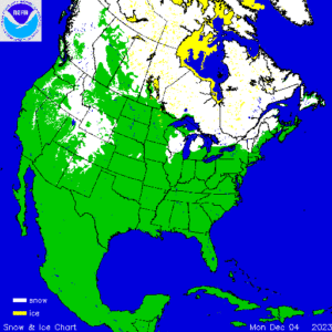
According to NOAA’s most recent analysis, many parts of the country are covered in snow. This includes northern portions of New England, northern Michigan, parts of Iowa and Illinois, most of Idaho and Wyoming, portions of Utah, Colorado, New Mexico, Arizona, California, Oregon, Washington, and Montana.
There is no snow in the Mid Atlantic and southeastern New England and throughout much of the north-central Plains near the Mississippi River Valley.
Somewhat reliable computer guidance forecast extends 15 days; for now, that guidance suggests no significant snow changes to the I-95 corridor in the eastern U.S.. However it does suggest more accumulating snow will fall between now and December 20 across much of the northern Plains while the Rockies should add to their snowpack.