Better known for warm black sand beaches, palm trees dancing in the mild trade winds, and sun-basked pool-side bars stocked with umbrella drinks, many may be surprised to see what the National Weather Service has issued for the Aloha State today: a Winter Storm Watch is in effect for portions of Hawaii’s Big Island for tonight through tomorrow afternoon due to the threat of heavy snow. Six inches or more of snow could fall by the PM hours on Friday.

According to the National Weather Service office in Honolulu, Hawaii, layered clouds developing ahead of a disturbance aloft moving in from the northwest may produce snow over the highest elevations of the Big Island starting tonight. Deep level moisture is expected to increase late tonight and early Friday over the eastern end of the state. With very cold temperatures above 12,000 feet, these conditions will likely produce snow, which may be heavy at times. The Winter Storm Watch that was issued means there is potential for significant snow, sleet or ice accumulations that may impact the area. The National Weather Service warns that anyone planning travel to the summits, including hikers and campers, should monitor the latest forecasts and consider postponing their trip until improved weather returns.
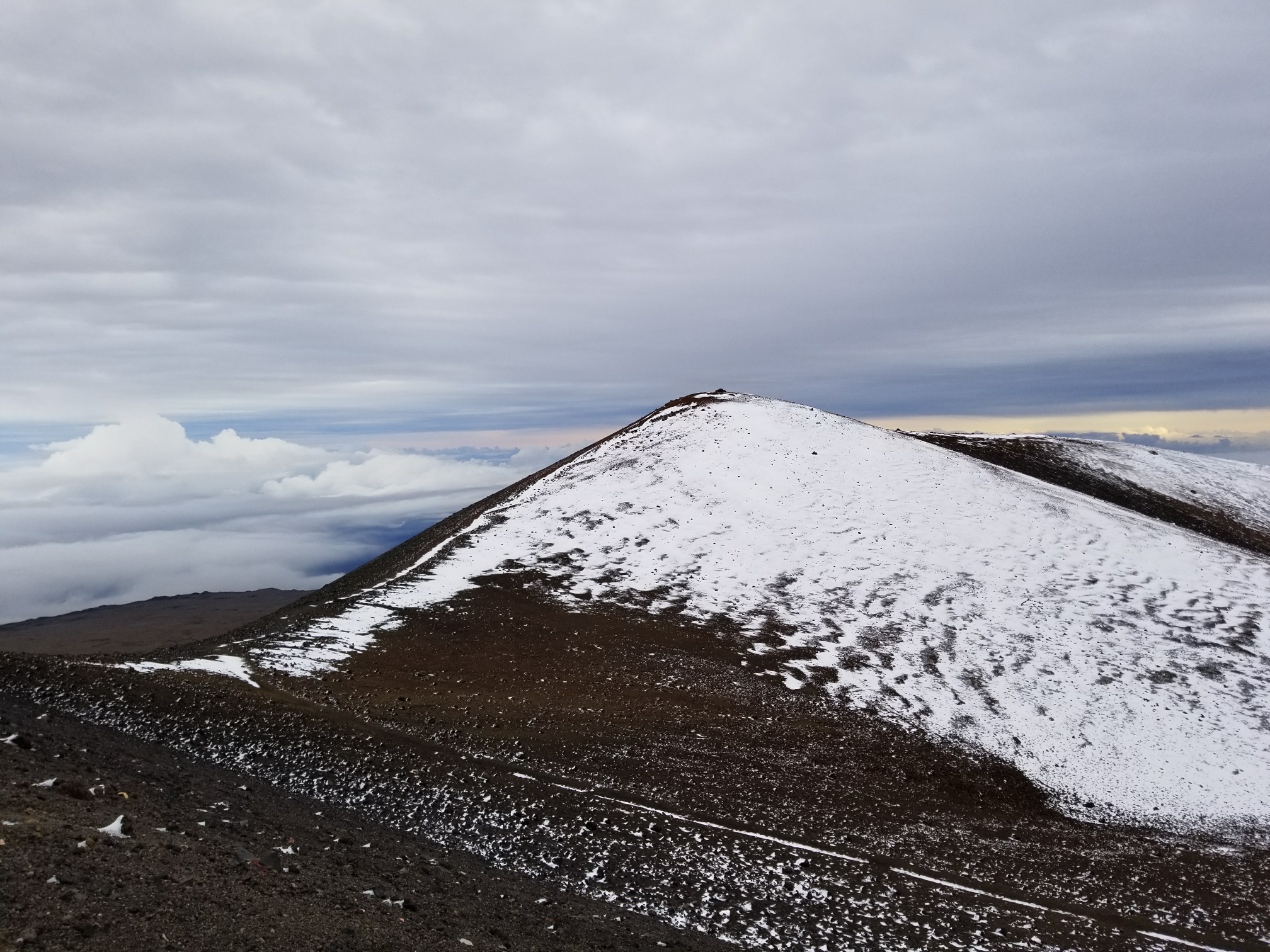
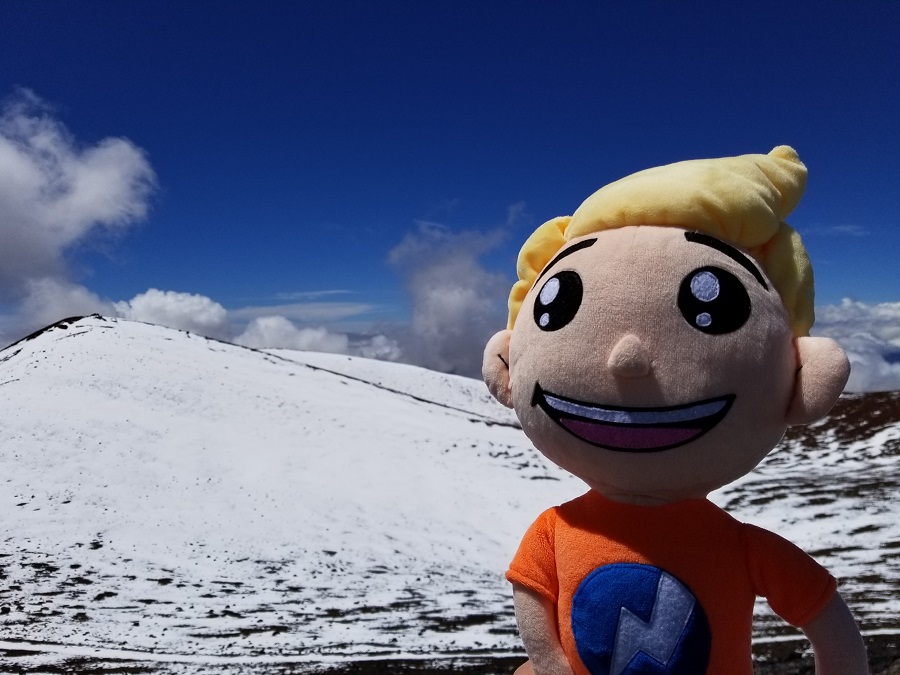
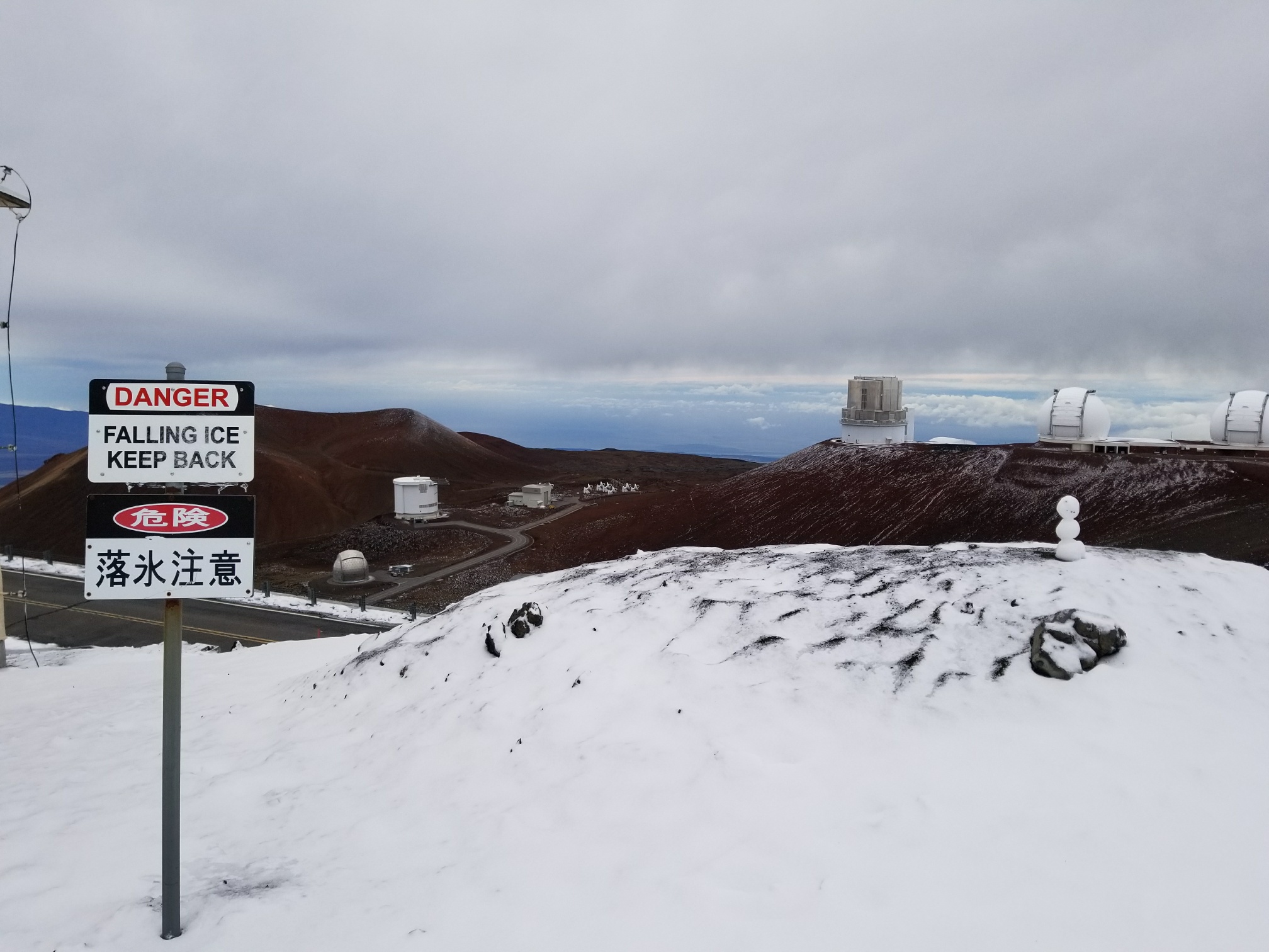
Hawaii’s Mauna Kea and Mauna Loa, at 13,803 feet and 13,678 feet respectively, rise well above the warm tropical beaches that surround the edges of the island. While it’s the state closest to the Equator, the high elevation of Hawaii’s Big Island peaks are high enough to tangle with cold air found high in the sky. In the winter, storms frequently tap into cold air to produce snow on the volcanic peaks while soaking rains fall at lower elevations. Snow can also fall during other times of the year; strong storms to move over the islands have been known to bring down just enough cold air to produce quick snow even in summer months. Snow topped Mauna Kea and Mauna Loa just weeks ago but has since melted.
More snow in tropical Hawaii today. The clouds have cleared long enough on the Kohala Coast to see snow at the very top of Mauna Kea; Mauna Loa is also snowcapped too. Webcams from both summits showed snow falling earlier today. #HIwx @NWSHonolulu pic.twitter.com/oUWOo9ac6c
— the Weatherboy (@theWeatherboy) November 20, 2019
Much more snow is likely to fall in the coming weeks as colder air and more moisture return to the Aloha State for winter. In previous winters, snow could be measured in feet in the area, giving locals and tourists an opportunity to enjoy winter sports more typical of Colorado than a tropical paradise. In an update released by the National Weather Service just weeks ago, meteorologists there expect the “wet season”, which extends from now through April, to feature above normal precipitation. Kevin Kodama, the Senior Service Hydrologist for the Honolulu office of the National Weather Service, shared forecast highlights with a Weatherboy meteorologist in October. Kodama tells us with a wetter wet season forecast, more snow could fall too. “There’s definitely the potential for more snow, especially with the expectation that we’ll see more upper level low systems impacting the state.”
