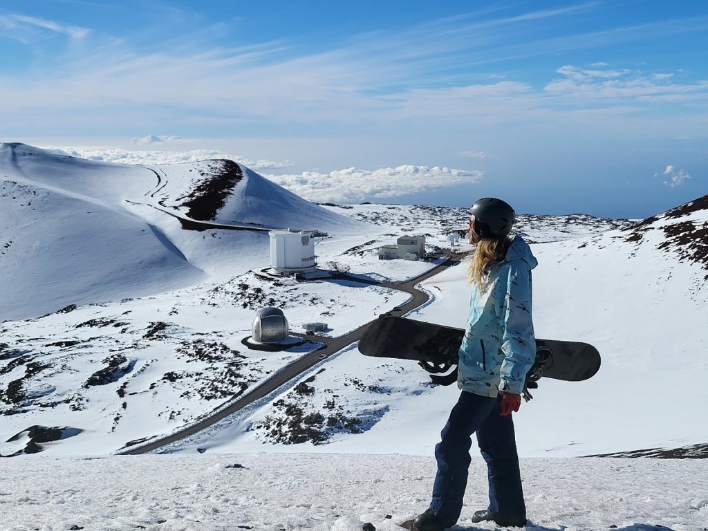
The National Weather Service in Honolulu, Hawaii on the island of Oahu has upgraded Winter Storm Watches to Winter Storm Warnings for the highest elevations of Hawaii Island, also known as the “Big Island of Hawaii”, with forecast heavy snow and blizzard-like conditions expected later today through tonight into tomorrow and early Saturday on the island’s higher elevations on Mauna Kea and Mauna Loa.
According to the National Weather Service, total snow accumulations of 12 to 24″ are expected while winds could gust as high as 85 mph. Such winds will result in blowing and drifting of snow over a prolonged period which could create near-zero visibility in blizzard-like conditions. The Warning, which is in effect from noon today through to 6 am local time Saturday, usually means a significant amount of snow, sleet, and ice is expected or is occuring.
“Travel could be very difficult to impossible. Blowing snow will significantly reduce visibility at times, with periods of zero visibility,” warns the National Weather Service. “This will make travel very hazardous or impossible. Any travel plans to the summits should be postponed until the threat diminishes,” they add.
Elsewhere on the Big Island, High Wind Warnings are in effect. Damaging winds may blow down trees and power lines, and damage roofs. Power outages are possible. Travel will be difficult, especially for high profile vehicles. Across the Big Island, winds are expected to be at least 40 mph with gusts over 60 mph.
“Strong winds may lead to property damage. Hazardous driving conditions due to powerful cross winds will pose a serious risk for drivers, especially for light weight and high profile vehicles,” the National Weather Service warns. “Loose outdoor items should be brought inside or secured properly. Motorists, especially those in high profile vehicles, are urged to drive with extreme caution.”
A powerful winter storm is marching through the island chain state, bringing not only heavy snow and strong winds, but severe thunderstorms and flooding downpours too.
