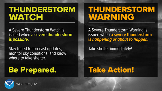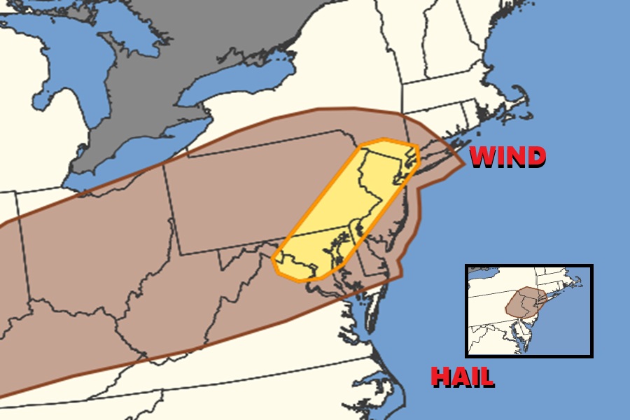
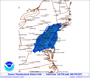
Portions of New Jersey, Pennsylvania, Maryland, Delaware, Virginia, and New York are at ground zero for another round of severe weather today, with an elevated risk of destructive wind gusts and large, damaging hail. Due to these elevated risks, the National Weather Service’s Storm Prediction Center (SPC) has issued a Severe Thunderstorm Watch through 9 pm tonight for all of New Jersey, southeastern New York including the New York City metro area, eastern Pennsylvania including the Philadelphia metro area, all of Delaware, much of northeastern Maryland, and northern Delaware. Washington DC and Baltimore, Maryland metro areas are also included in the watch. In addition to wind and hail threats, there is also the risk of flash flooding from slow-moving thunderstorms. While the storms could produce damaging wind and hail and flooding rain, the atmospheric dynamics are not conducive to tornadoes today. However, an isolated tornado or two can never be ruled out of a severe weather event.
“Isolated to scattered severe thunderstorms are possible across parts of the Upper Midwest/Great Lakes this afternoon and evening, with large to very large hail and severe winds the main threats,” warns the SPC. “Thunderstorms capable of scattered damaging winds may also occur over portions of the Mid-Atlantic.”
According to the SPC, greater destabilization of the atmosphere and steepening of low-level lapse rates are anticipated this afternoon across the Mid-Atlantic, where recent visible satellite imagery shows generally clear skies. Loosely organized cells/clusters that initially develop across the higher terrain of the central Appalachians are expected to spread into the Mid-Atlantic coastal plain through the afternoon and evening hours, while posing a threat for scattered damaging winds up to 50-60 mph and perhaps marginally severe hail.
Today won’t be the last day of severe weather in this region. The National Weather Service cautions, “There are daily chances for showers and thunderstorms through tomorrow, as well as portions of next week. There is at least a marginal risk each day for localized heavy rainfall leading to flash flooding and locally damaging wind gusts with any stronger thunderstorms that develop.”