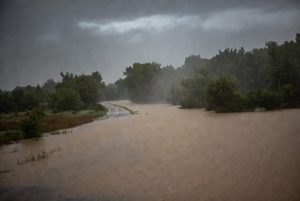
Well forecasted and warned storms in portions of the Mid Atlantic triggered numerous flash floods, prompting the National Weather Service to issue Flash Flood Warnings for portions of Pennsylvania, New Jersey, and Delaware.
According to the National Weather Service, the public reported thunderstorms producing heavy rain across portions of central New Jersey with roads flooded in New Brunswick. Between 1 and 2 inches of rain have fallen. Additional rainfall amounts up to a half an inch are possible there where flash flooding is already occurring.
At 6pm, Emergency Management officials reported thunderstorms producing heavy rain with numerous instances of flash flooding near and along the Interstate 80 corridor. Between 2.5 and 3.5 inches of rain have fallen there with another half inch possible there too.
Flooding is also occurring or about to occur around Interstate 295 in New Jersey between mile markers 57 and 72, New Jersey Turnpike between exits 6 and 6A and near exit 8, Interstate 195 in New Jersey between mile markers 0 and 7, Interstate 95 in Pennsylvania between mile markers 39 and 40, and the Pennsylvania Turnpike between mile markers 354 and 359.
In Maryland, The Baltimore County 911 Center reported a vehicle stuck in high water along Eastern Boulevard and Martin Boulevard in Middle River. The Harford County 911 Center reported around a foot of flowing water in Joppatowne around Joppa Farm Road and Barksdale Road. Additional rainfall amounts up to one inch are expected within the next hour there.
Urban areas will flood too. The National Weather Service says flash flooding is happening around Newark, Jersey City, Jamaica, Yonkers, Paterson, Elizabeth, Flatbush, New Rochelle, Flushing, Passaic, Bayonne, White Plains, Wayne, Mott Haven, Hoboken, Bloomfield, East Tremont, Hackensack, Linden and Orange.
