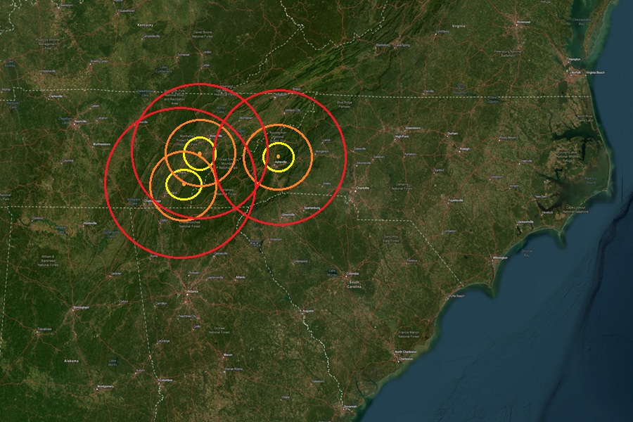
Three separate earthquakes struck eastern Tennessee and western North Carolina within hours of each other last night and this morning. According to USGS, the relatively weak earthquakes struck Tennessee at 10:48 pm last night and 3:02 am this morning while the North Carolina quake struck at 6:36 am this morning. The first earthquake to hit Tennessee struck from a depth of 18.9 km near Friendsville; it was rated a magnitude 2.3 event while the second struck near Etowah from a depth of 12.4 km; it was rated a little stronger as a 2.4 magnitude event. The earthquake in North Carolina struck near Weaverville north of Asheville from a depth of only 5.3 km; it was a weak magnitude 1.7 event.
According to USGS, earthquakes with a magnitude of 2.0 or less are rarely felt or heard by people, but once they exceed 2.0 , more and more people can feel them. While damage is possible with magnitude 3.0 events or greater, significant damage and casualties usually don’t occur until the magnitude of a seismic event rises to a 5.5 or greater rated event.
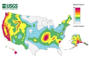
Western Tennessee is located within the New Madrid Seismic Zone, an area famous for a catastrophic series of earthquakes in 1811-1812 that were centered near New Madrid County, Missouri. The New Madrid Seismic Zone is also known as NMSZ for short. Earthquakes like the one that occurred earlier today in the eastern part of Tennessee are unlikely associated with the New Madrid Seismic Zone. However, while USGS says western Tennessee has a higher frequency of damaging earthquake shaking, the risk isn’t that low in eastern Tennessee. In the area of today’s earthquake, USGS says its likely this area would see 50-100 damaging earthquakes over 10,000 years. While this number is low, it is much higher than it is elsewhere in the eastern half of the United States, where it’s likely to have 10 or less earthquakes over the same period.
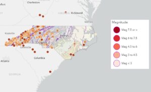
Earthquakes are not common in North Carolina, but they do occur, with most being small and not causing damage. While the state isn’t known for frequent or strong seismic activity, occasional tremors can be felt, and some larger earthquakes have been recorded in the past. While the mountains and foothills of western North Carolina are not located along an active tectonic plate boundary, the region still has minor earthquakes linked to old fault lines along the Appalachian Mountains.
According to the North Carolina Department of Environmental Quality, while North Carolina is no stranger to earthquakes, large, damaging earthquakes are rare. Large, damaging seismic events are rare and the few felt in North Carolina had epicenters outside of the state. Most quakes in North Carolina originate from the East Tennessee seismic zone to the west, the Charleston, South Carolina seismic zone to the south, or the Central Virginia seismic zone to the north. The most common and strongest earthquakes to strike the state have been in the western part along the Appalachian Mountains.
