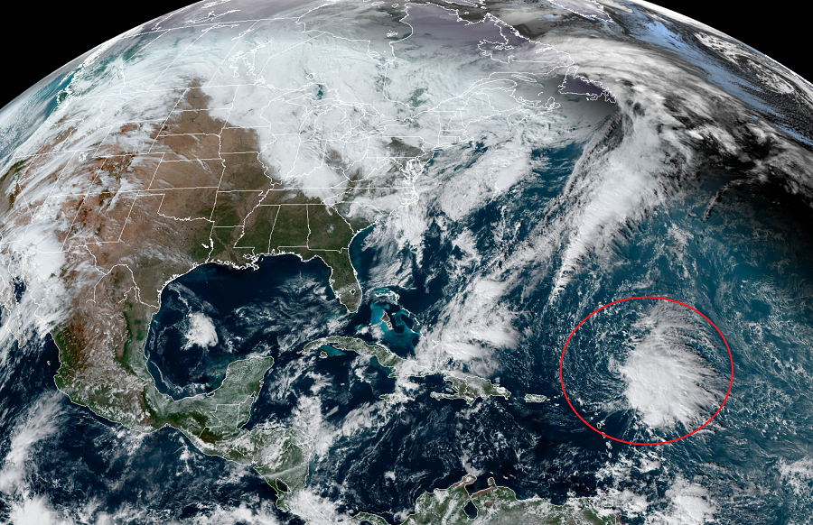
Tropical Storm Sebastien has formed in the Atlantic, becoming the 18th named storm of the busy Atlantic hurricane season which runs through the end of the month. Fortunately, direct impacts to land are not expected at all from Sebastien in the coming days.
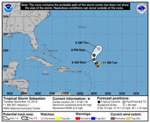
As of the latest advisory out of the National Hurricane Center (NHC) in Miami, Florida, the center of Tropical Storm Sebastien was located near latitude 20.1 North, longitude 58.7 West. Sebastien is moving toward the north-northwest near 8 mph. The NHC expects the storm will make a turn to the north on Wednesday followed by a turn to the northeast and an increase in forward speed Wednesday night.

For now, maximum sustained winds are near 45 mph with higher gusts. The NHC suggests some slight strengthening will be possible over the next day or so. But even so, it should remain over open water and not a threat to any land. The tropical storm force winds extend out from the center up to 105 miles. The estimated minimum central pressure helping drive those storm force winds is only down to 1008 mb or 29.77″ of mercury.
Even if the storm grows over the next 24 hours, Sebastien is expected to become absorbed by a cold front in a couple of days. The frontal system approaching it is the same one responsible for coastal flooding up and down the U.S. East Coast on Sunday and Monday.
The 2019 Atlantic Hurricane Season only has three names left: Tanya, Van, and Wendy. For now, the National Hurricane Center doesn’t expect any other storms to form in the tropics over the next 5 days. As such, it’s unlikely the list of names will be exhausted this season, which ends on November 30.