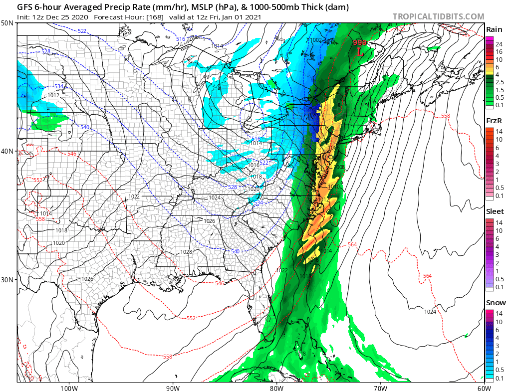
A potent cold front blasted through the eastern United States on Christmas Eve, dropping tornadoes, creating flooding issues, and putting hundreds of thousands of people in the dark Christmas morning from damaging overnight wind gusts –and now it looks like the same thing may happen on the next holiday: New Year’s Eve.
As 2020 wraps up and 2021 is set to begin, it appears another area of low pressure will be sliding across southeastern Canada. This low will drag another potent cold front behind it through the eastern United States. As with the storm that impacted the region last night and today, mild air will surge north ahead of the front, bringing soaking rains from Maine to Florida. Some thunderstorms, possibly severe, could also fire-up. Winds could be strong and damaging once again, threatening a wide area with another round of power failures. As the front pushes through, winds will increase in intensity and shift directions, bringing cold air behind it.
As the cold air swings behind this new system on New Year’s Day, rain could change to snow. Accumulating snow will be confined to northern New England and areas prone to lake effect snows in northwestern Pennsylvania and western upstate New York. While snow flurries may make it to the I-95 cities between Washington, DC and Boston, MA, no accumulations are expected there.