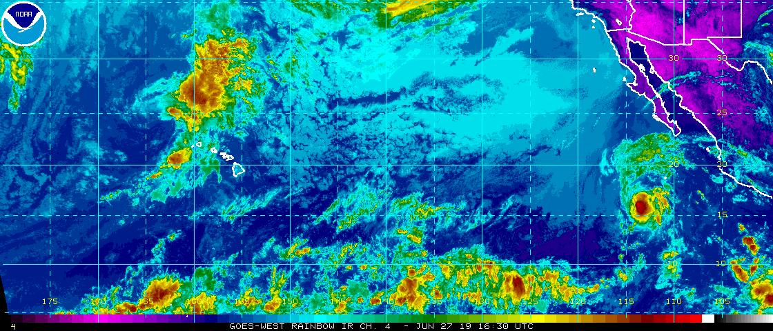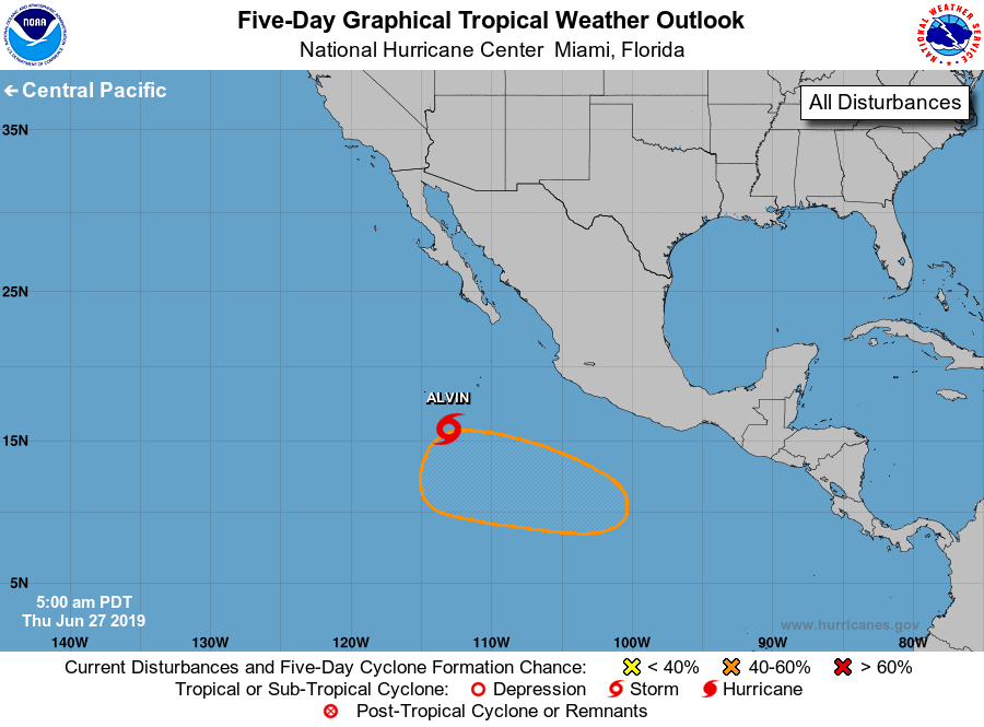
The Eastern Pacific hurricane basin has perked up a bit, with Tropical Storm Alvin gaining some strength for now while a new system appears to be forming behind it.
In the latest advisory from the National Hurricane Center (NHC), Alvin was chugging off to the west northwest near 14mph; the NHC expects this general motion to continue for the next day or so, with a gradual turn to the west expected by late Saturday. Maximum sustained winds are near 60 mph with higher gusts. It is still below the 74 mph threshold required for hurricane status. These tropical storm force winds currently extend outward by about 25 miles. The NHC is forecasting some additional strengthening over the next 24 hours, but weakening is expected to begin on Friday. By Saturday, the NHC expects Alvin to fizzle-out as a remnant low. For now, the estimated minimum central pressure is 999 mb (29.50 inches).
While Alvin fades, a new system could be taking shape in its wake. According to the NHC, an area of low pressure is expected to develop in a few days several hundred miles southwest of the southern coast of Mexico. Some slow development of this system is possible thereafter and a tropical depression could develop by late this weekend or early next week while it moves westward to west-northwestward. While the NHC says there’s no chance of tropical cyclone formation there over the next 48 hours, those odds increase to 40% over the next 5 days.
Alvin and this second system are in an area of open water in the Eastern Pacific hurricane basin. Neither are expected to pose a threat to any land, with the nearest landmasses being Mexico to its east and Hawaii to its west. While some Eastern Pacific storms can enter the Central Pacific basin and threaten Hawaii, any such event happening is more than a week away.
Elsewhere in the tropics, there are no areas of disturbed weather around the United States being monitored for potential tropical development. The Atlantic and Central Pacific Hurricane season began on June 1 and runs through to the end of November.