Yet another late season blizzard is about to strike the U.S., bringing heavy snow, powerful winds, and little to no visibility to portions of North and South Dakota, Montana, and Wyoming, prompting the National Weather Service to issue Blizzard Warnings there.
According to the National Weather Service’s Weather Prediction Center, troughing in the Rockies and Plains will bring unsettled weather to the central part of the country over the next few days. An area of surface low pressure will deepen over the foothills of the Rockies and develop into a powerful dynamic mid-latitude cyclone tonight. Out ahead of this system, moderate to heavy rain showers and thunderstorms will proliferate across the Northern Plains and Upper Midwest while scattered showers and thunderstorms, some severe, initiate along a well defined cold front extending down the spine of the Great Plains tonight.
With blizzard conditions to the north, severe thunderstorms will blossom to the south. Some of these thunderstorms may produce large hail, damaging straight-line winds and a few tornadoes. Areas of heavy rainfall capable of producing flash flooding may develop over portions of eastern North Dakota and western Minnesota as well as southeastern Iowa tonight, where Slight Risks of excessive rainfall are in effect. The leading cold front will continue to be the focus for showers and thunderstorms as it moves into the Upper/Middle Mississippi Valley and Southern Plains on Saturday. The National Weather Service’s Storm Prediction Center issued a Slight Risk of severe thunderstorms for these areas which include the chance for tornadoes, strong wind gusts and hail.
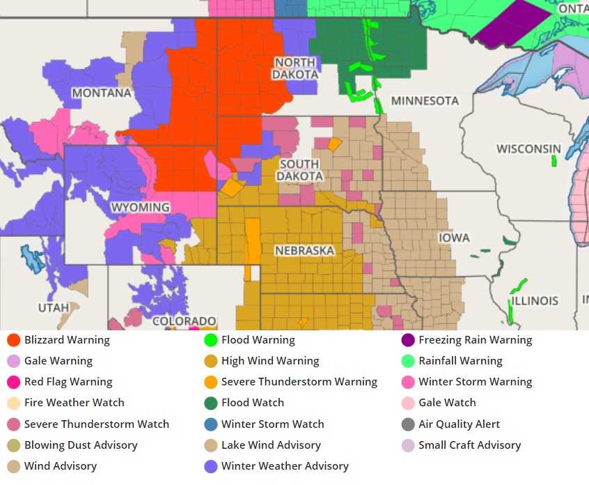
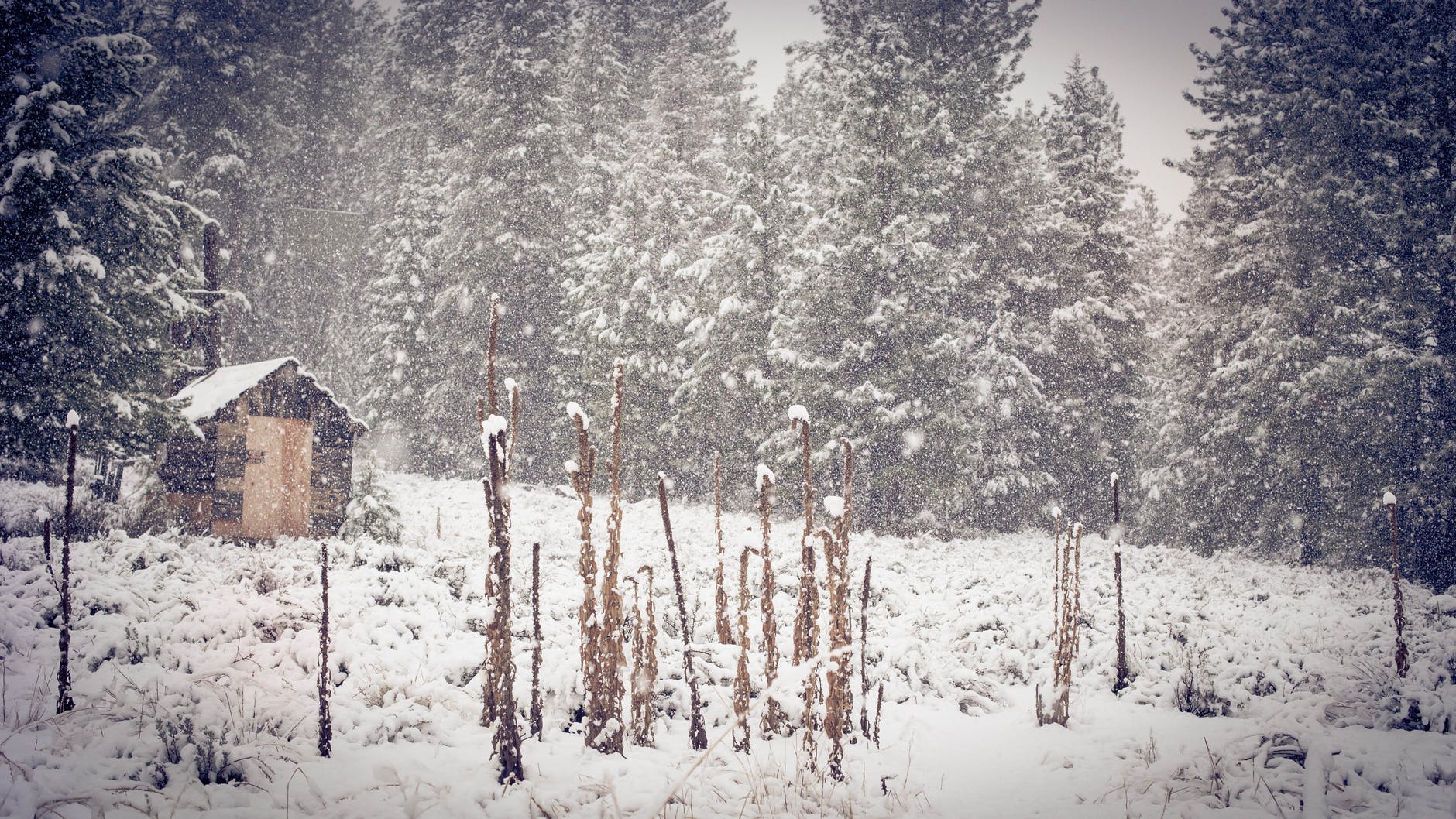
This cold front is expected to slow down a bit as it moves into the Midwest on Saturday night. This will open the door for a long duration rain event to develop across portions of the Southern Plains and Lower/Middle Mississippi Valley through Monday morning. A Slight Risk of excessive rainfall leading to flash flooding is in effect for the aforementioned regions on Sunday as a result. Within the cold sector of this dynamic system, a significant late season winter storm will produce heavy wet snow and strong winds from the Rockies through portions of the Northern Plains into Sunday. A combination of heavy snow and strong winds will produce blizzard conditions across portions of the Northern Plains starting tonight. The National Weather Service warns that travel will be very difficult or even impossible. The National Weather Service warns, “Power outages and tree damage are expected. Significant impacts to livestock are also possible. Prepare now for impactful winter weather and delayed travel.”
Between 6-12 inches of snow are expected for much of the impacted portions of the Rockies, while 12-18 inches are likely over much of the Montana/Dakota border region as well as much of northeastern Wyoming by Sunday. Portions of north-central Wyoming, such as the Bighorn, will likely see snow amounts exceeding 2 feet.
