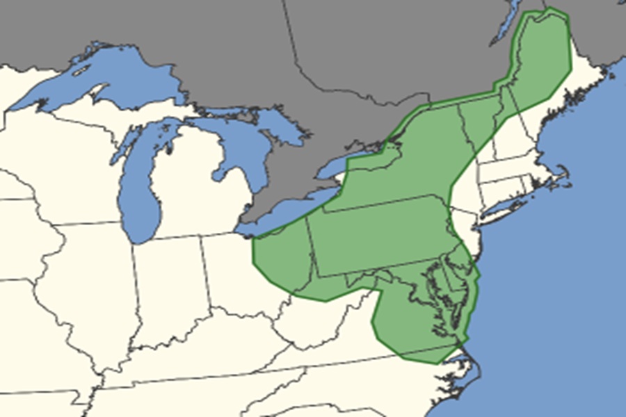
The National Weather Service’s Storm Prediction Center (SPC) has expanded the area where they believe potential tornado activity will exist today. A round of severe thunderstorms is expected to develop this afternoon, with some of those storms becoming tornadic. According to the SPC’s latest Convective Outlook, the greatest chance of tornadoes in the U.S. today is in the northeast, specifically all of Delaware and Maryland, most of New York and Pennsylvania, northern New Hampshire, Vermont, and Maine, eastern and northern Virginia and West Virginia, eastern Ohio, and southern New Jersey.
A tornado is a violently rotating column of air touching the ground, usually attached to the base of a thunderstorm.
Tornadoes are nature’s most violent storms. Spawned from powerful thunderstorms, tornadoes can cause fatalities and devastate a neighborhood in seconds. Winds of a tornado may reach 300 miles per hour. Damage paths can be in excess of one mile wide and 50 miles long. Strong downburst or straight-line winds may also occur due to the same thunderstorm. Hail is very commonly found very close to the tornadoes, as the strongest thunderstorms that spawn tornadoes are formed under the atmospheric conditions that are also highly likely to make hail.
According to the National Weather Service, some tornadoes are clearly visible, while rain or nearby low-hanging clouds obscure others. Tornadoes develop extremely rapidly, and may dissipate just a quickly. Most tornadoes are on the ground for less than 15 minutes.
Before a tornado hits, the wind may die down and the air may become very still. A cloud of debris can mark the location of a tornado even if a funnel is not visible. Tornadoes generally occur near the trailing edge of a thunderstorm. It is not uncommon to see clear, sunlit skies behind a tornado.
The risk of tornadoes will persist in portions of the northeast through about midnight; the risk of severe storms and tornadic thunderstorms will significantly diminish after midnight.
