Tropical Storm Arthur continues to spin about off the U.S. East Coast; it is forecast to drift south and east today, eventually bringing rain and wind to Bermuda.
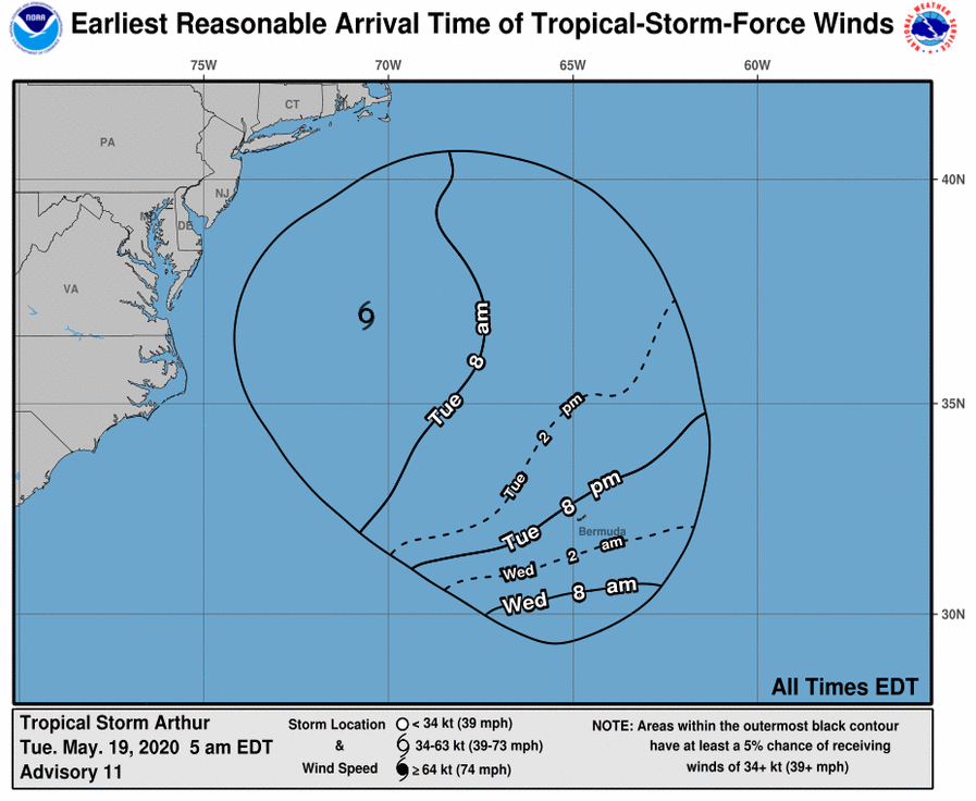
In the latest morning update from the National Hurricane Center, the center of Tropical Storm Arthur was located near latitude 37.0 North, longitude 70.6 West. Arthur is moving toward the east-northeast near 15 mph, and a turn toward the east is expected later this morning. Arthur is then forecast to slow down and turn toward the south in another day or so. Tropical storm force winds extend outward up to 140 miles from the center. The estimated minimum central pressure is 991 mb or 29.27 inches.
Arthur is a potent but compact tropical storm with maximum sustained winds of 60 mph with higher gusts. Arthur is forecast to transform from a tropical storm into a post-tropical low later today. Before that happens, Arthur could strengthen some early today; however, as the storm evolves into a post-tropical low, the National Hurricane Center expects it to gradually weaken tomorrow. Ultimately, it is also forecast to dissipate by the end of the week.
The Bermuda Weather Service said Tropical Storm Arthur will pass to the “distant northwest” of Bermuda today before it curved sharply and headed back towards the island later Wednesday into Thursday. While the center of the storm is expected to approach Thursday, tropical storm force winds could lash the island as early as late tonight. The Bermuda Weather Services said last night that Arthur is “expected to recurve and become post-tropical as it passes nearby by midweek, though accompanied by showery and breezy conditions before it dissipates and exits to our southeast on Thursday with lowering humidity and gradually settling late in the week.”
While the system moves away from the United States and inches closer to Bermuda, the U.S. coastline will still see indirect impacts from the storm. Swells generated by Arthur are expected to affect portions of the mid-Atlantic and southeast U.S. coasts during the next day or two. These swells could cause life-threatening surf and rip current conditions. While not all beaches are open due to the ongoing pandemic, it’s important people avoid the water in areas made turbulent by Arthur’s wake.
