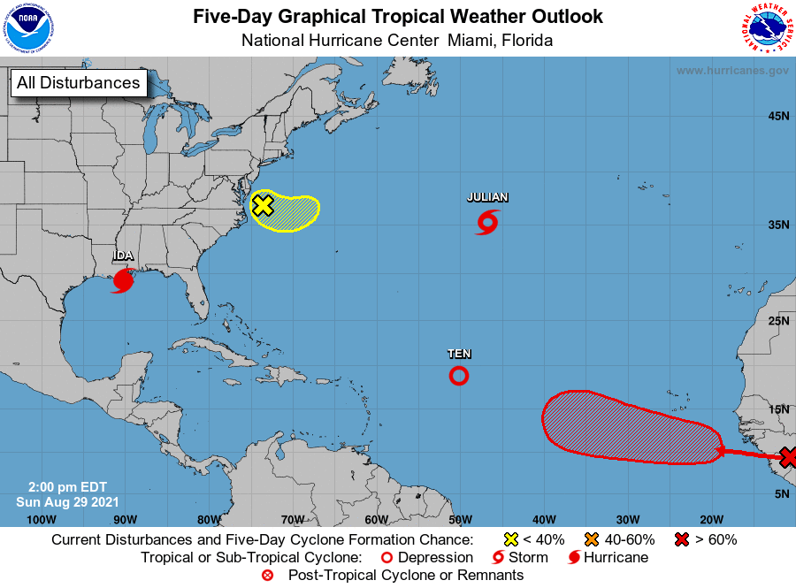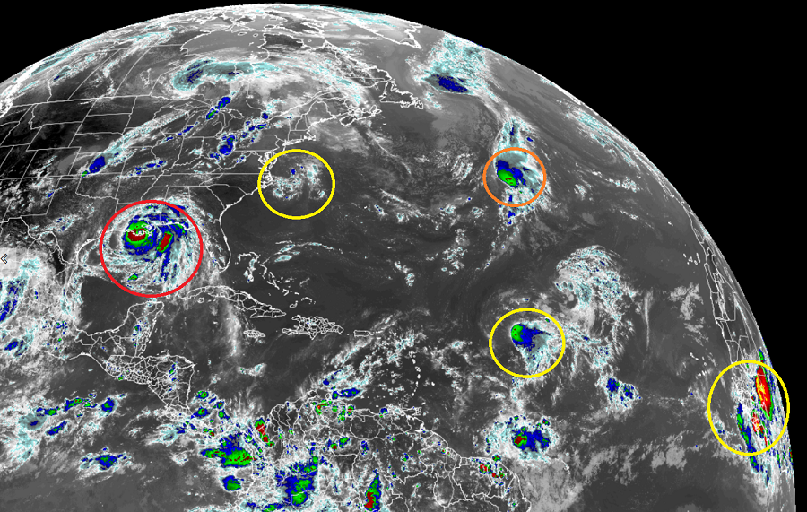
While Major Hurricane Ida is impacting Louisiana and Tropical Storm Julian spins about in the northern Central Atlantic, the National Hurricane Center is monitoring three other systems for potential development. The first is southeast of the Jersey Shore off the Mid Atlantic coast, the second is a tropical depression, also over the Atlantic, and the other is a strong tropical wave moving through Africa this is likely to become the basin’s next tropical cyclone.
Of the bunch, the system near the Mid Atlantic coast is the least likely to develop for now. A broad area of low pressure located just east of the Delmarva Peninsula is producing a few disorganized showers and thunderstorms. According to the National Hurricane Center, upper-level winds are expected to increase over the low on Monday and Tuesday, and any development of this system is expected to be slow to occur while it moves slowly southeastward and then eastward, away from the east coast of the United States. There’s only a 10% chance that a tropical cyclone will form here over the next 48 hours or next five days.

However, a tropical wave emerging off the west coast of Africa is very likely to develop into a tropical cyclone. According to the National Hurricane Center, such development could happen as soon as by tomorrow night. Environmental conditions appear conducive for the development of a low pressure area once the wave moves offshore, and a tropical depression is likely to form by the middle or latter part of the week while the system moves west-northwestward at 10 to 15 mph over the eastern tropical Atlantic. While there’s a 30% chance of formation through the next 48 hours, those odds grow to 80% in the next five days.

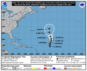
Tropical Depression #10, the latest tropical depression in the Atlantic, is forecast to become a Tropical Storm soon. In the latest update from the National Hurricane Center, Tropical Depression Ten was located near latitude 18.8 North, longitude 50.2 West. The depression is moving toward the north near 12 mph. A motion toward the north or north-northeast at a slower forward speed is expected through Wednesday, keeping the depression over the central Atlantic during the upcoming week. Maximum sustained winds are near 35 mph with higher gusts. Little change in strength is forecast during the next couple of days, but the National Hurricane Center says the depression could become a tropical storm by Tuesday or Wednesday.
The Atlantic hurricane season runs through to the end of November; the second week of September is typically considered the peak of the season.