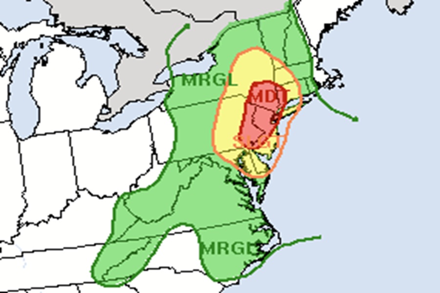
The National Weather Service’s Weather Prediction Center is warning that there’s a significant threat of heavy , flooding rains over portions of the northeast and Mid Atlantic, with the bullseye of the worst of the rain over portions of New Jersey, New York, and Connecticut.
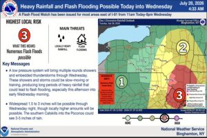
An anomalously strong upper low will produce impressive dynamics to create the potential for significant flash flooding across the Tri-State area today and tonight. A closed low will be forming over Upstate New York this evening and then continue to amplify and deepen as it curls southeast into New England. This intense system will help drive increasing divergence downstream, which when combined with the accompanying height falls will result in broad deep layer ascent from the Mid- Atlantic into New England. At the same time, the deepening system will force acceleration of an atmospheric moisture inflow, setting the stage for a significant heavy rain event.
The Weather Prediction Center (WPC) says that the precipitable water values and the magnitude of atmospheric instability will be “near climatological maximums”, resulting in exceptionally heavy rainfall rates. This situation is very favorable for heavy, training rainfall, and flash flooding. Precipitable water is the depth of water in a column of the atmosphere, if all the water in that column were precipitated as rain.
Training rainfall is when heavy downpours form and move over and over the same location, potentially flooding out those localized areas.
After coordinating with the Mount Holly, New Jersey office of the National Weather Service, the WPC expanded the area at greatest risk of flooding south through the remainder of eastern Pennsylvania as well as the I-95 corridor through Philadelphia and Wilmington, Delaware.
“The combination of moderate to strong instability and precipitable water values increasing through the day to between 1.6 and 1.9 inches will make rain rates reaching 2 inches per hour in the strongest convection likely, and there is a chance the most organized clusters could see rain rates reach 3 inches per hour,” warns the WPC. They add, “In an area with a lot of flashy streams and urbanization, this will make flash flooding increasingly likely this afternoon, potentially impacting the evening rush in parts of the area.”

Due to the threat of flooding rains, the National Weather Service has issued Flood Watches for much of New Jersey, northern Delaware, northeastern Maryland, eastern Pennsylvania, southeastern New York and much of Long island, and western Massachusetts and Connecticut. The cities of Baltimore, Philadelphia, and New York City are included in these watches. Throughout the watch area, the National Weather Service warns, “Excessive runoff may result in flooding of rivers, creeks, streams, and other low-lying and flood-prone locations.”
