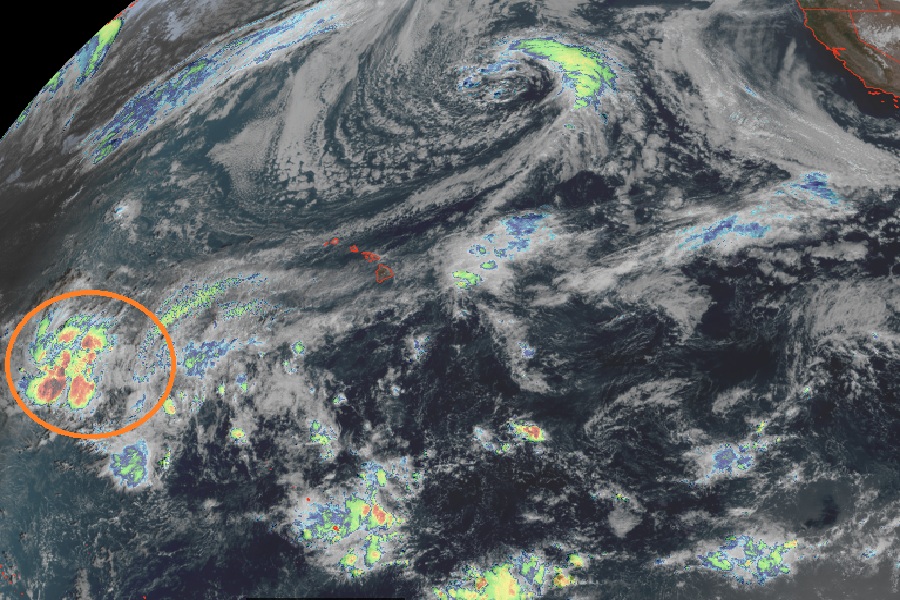
The next tropical disturbance to impact the U.S. could hit Hawaii again, which would be the fourth time this hurricane season a tropical cyclone has brought damaging winds and heavy, flooding rains to the Aloha State. While the Atlantic remains quiet do in part to the El Nino weather pattern, the Pacific remains hyperactive with several systems spread across the ocean including this newest threat to Hawaii. Whether or not a new tropical cyclone forms in the coming days, it still appears likely the state of Hawaii, especially the area from Oahu east across Maui to the Big Island of Hawaii, will see very heavy rain and the potential for damaging wind gusts.
According to the National Hurricane Center, shower activity associated with a broad area of low pressure located near or just west of the International Date Line, several hundred miles west of Johnston Atoll, has become a little better organized since yesterday. They add that environmental conditions could support some continued slow development while the system crosses the Dateline and moves generally eastward to east-northeastward. For now, the National Hurricane Center says formation chances over the next 48 hours is low at 20% odds; those odds grow to 30% over the next 7 days.
Even if a tropical cyclone doesn’t take shape here, the system is still forecast to move into Hawaii and bring a variety of meteorological hazards. The National Weather Service office in Honolulu is expressing concern about the situation in their latest Forecast Discussion issued today.
“For next week, while the forecast still remains complicated, global models and its ensemble members have been slowly coming into better agreement. A low pressure system embedded within a monsoon trough is currently located just west of the Dateline near 14N. This low is expected to gradually move eastward along with the monsoon trough that extends over 1,000 miles east of the low pressure system,” writes the National Weather Service office forecast team in Honolulu on the island of Oahu. They add, “An approaching upper level trough from the northwest Monday into Tuesday will allow the monsoon trough to lift northward and approach the Hawaiian Islands. Deep tropical moisture with precipitable water values exceeding 2.5 inches is expected to move over the state Tuesday into Wednesday. During this time, an upper level short-wave trough will swing through the state and will provide the support and lift for thunderstorms to develop.”
With considerable upper level atmospheric support for this system, even if a tropical cyclone didn’t take shape, Hawaii could see organized thunderstorms such as squall lines or even a rare “mesoscale convective system” develop and if they do, they will be capable of producing damaging winds as well as torrential rainfall.
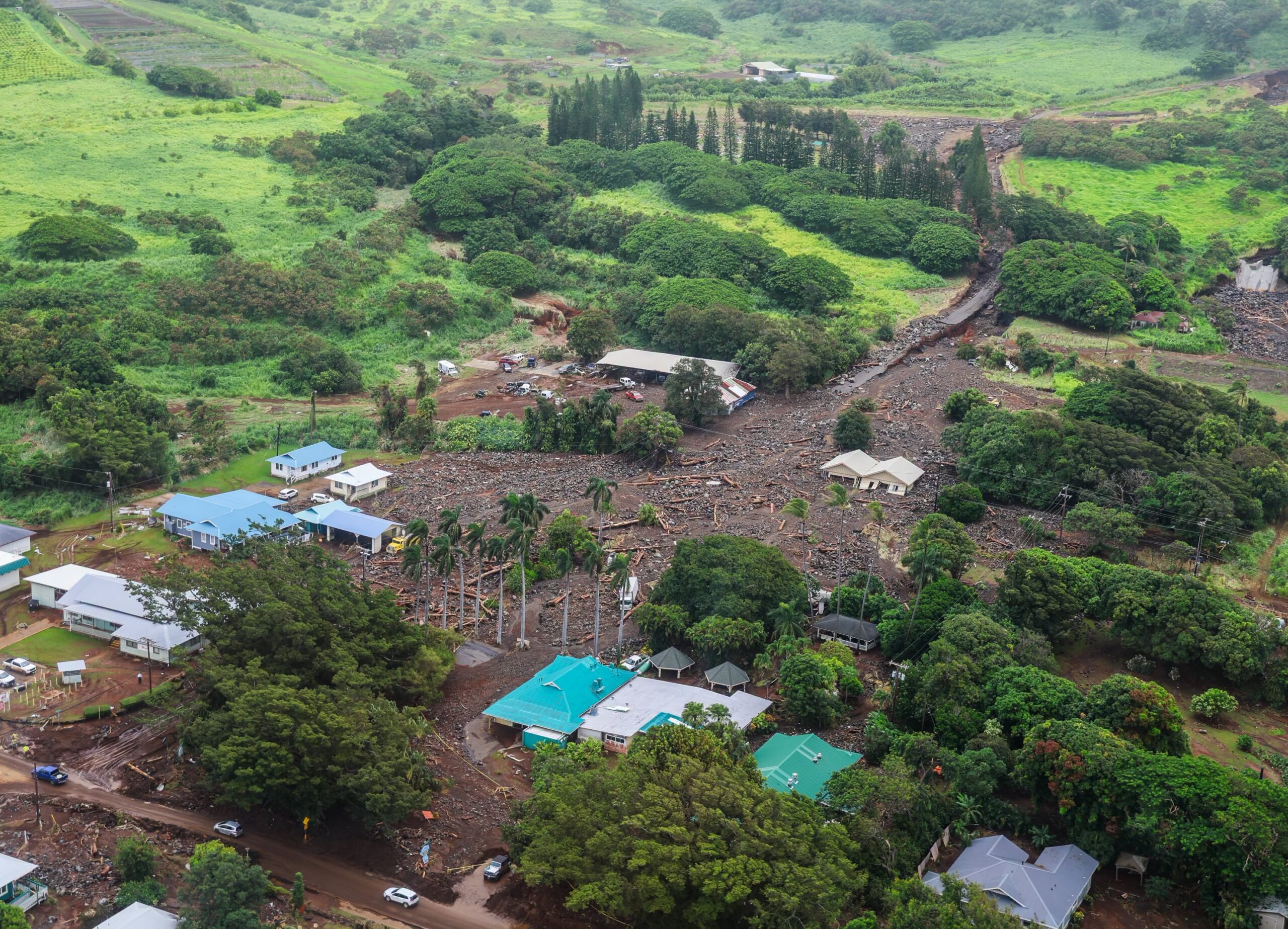
The threat of heavy rain and flash flooding will exist across the state Tuesday into Wednesday and likely into Thursday. Current computer forecast guidance suggests the heaviest rainfall period would hit from late Tuesday through the day Wednesday. The heaviest rainfall is likely to fall between Oahu where Honolulu is and the Big Island of Hawaii, with Maui and its county islands located in between the two.
“Flood Watches will eventually get issued for the entire state as we get closer to next week,” cautions the National Weather Service.
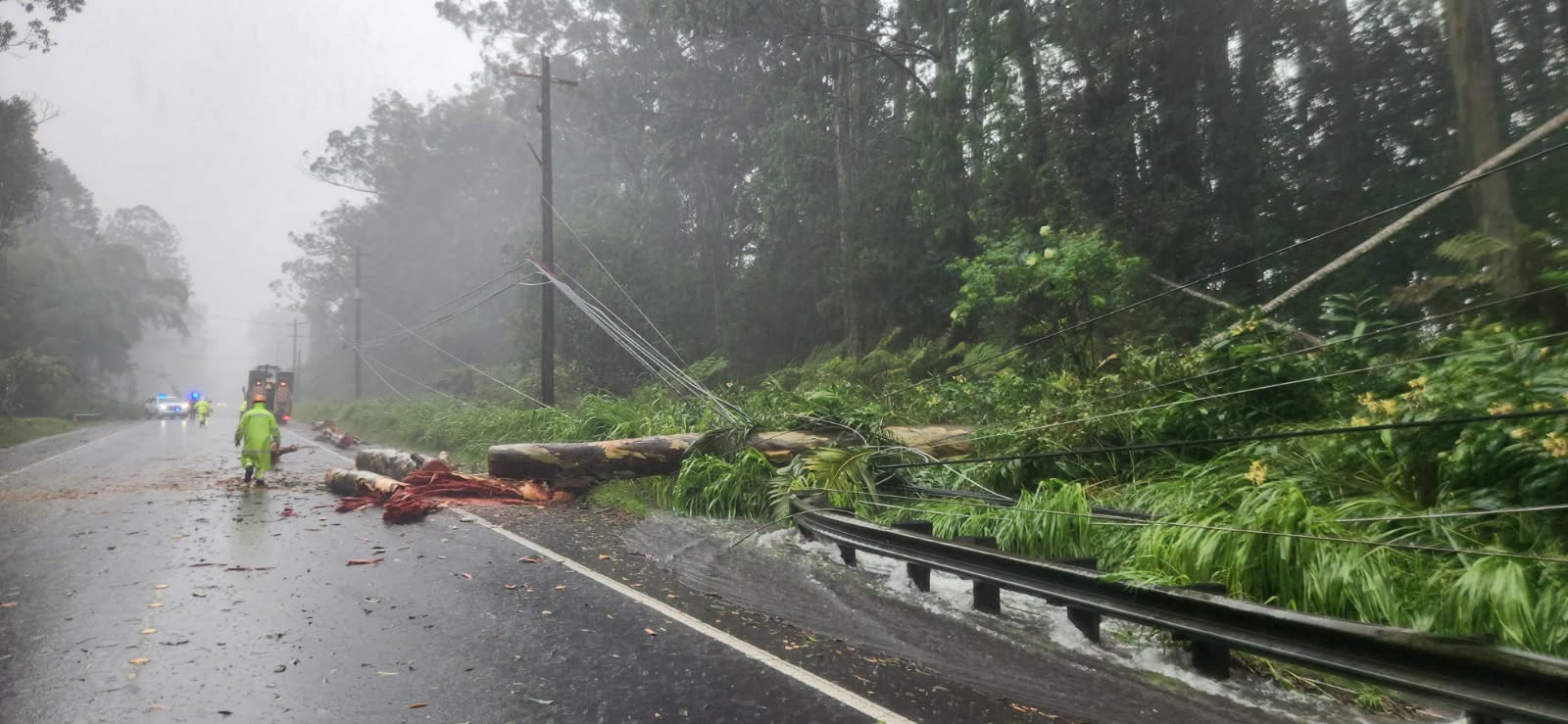
“While we don`t know exactly where the thunderstorms will set up, the greatest probability looks to be somewhere between Oahu and the Big Island at this time,” warns the National Weather Service, adding that due to the very high precipitable water values which are at the 99th percentile and ample upper level support from the short-wave trough, “extreme rainfall rates will be possible especially around late Tuesday into Wednesday.”
Recovery efforts continue in Hawaii from the three tropical cyclones that impacted the islands over the last few months. The three tropical cyclones that impacted Hawaii over the last few months are Hurricane Lala, Hurricane Lowell, and Hurricane Nolo. Fueled by a powerful El Niño season, these back-to-back storms battered the islands in quick succession. In mid/late August, Hurricane Lala brought severe flooding, 30′ waves, and destructive winds to the state, with the worst damage to portions of the Big Island of Hawaii. Lala was responsible for badly damaging or destroying over 200 homes and claiming at least two lives. Weeks later in early September, Hurricane Lowell hit Hawaii, with the worst impacts felt on the island of Kauai. Homes and resorts on the south and north facing coasts of Kauai were badly damaged or destroyed by storm surge flooding in that storm. And then in late September, Hurricane Nolo passed just south of Hawaii, bringing another round of heavy rain to the state. From that storm alone, Mount Waiʻaleʻale recorded an extraordinary 36.83″ of rain. There was also a fourth weak system that brushed by the islands between Lala and Lowell; that system, Tropical Storm Moke, only brought light rain and no additional damage to the state.
