
With threat of yet another snowstorm looming for the northeast, even the most devoted snow fans said “enough is enough!” The hopes and prayers of those eager to get going with Spring may be coming after all; it now appears a weekend winter storm may be more of a “close-call” than a “direct hit.”
A complex weather event will unfold this weekend along the US East Coast. A cold front will be in the vicinity of the DelMarVa Saturday morning, with precipitation along and southeast of it. It appears a region generally southeast of a line from Stevensville, MD to Atlantic City, NJ will see precipitation from Saturday morning to Saturday night. With cold air not abundant this late in the snow season, the areas that see the heavier precipitation will see snow or sleet; areas where lighter precipitation will fall will see mainly rain. Later on Saturday, several voticity maxima will be moving through the central and southern portion of the Mid Atlantic during the day, which will precede the main surface low tracking near the North Carolina coast by Saturday night. Precipitation on the northern side of this system will change to plain snow as colder air creeps south.
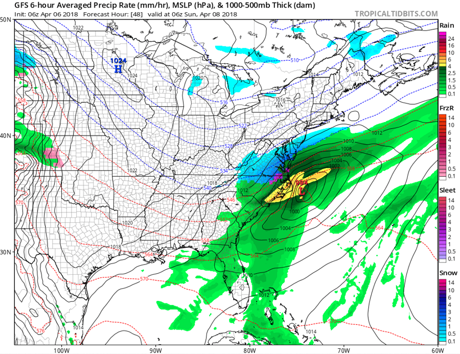
Earlier in the week, there was high confidence that the coastal low would track close to the coast, bringing an area of heavy, accumulating snow to places from Washington, DC to Boston, MA. However, confidence in such a solution has evaporated. It appears rather than the direct hit originally expected, the coastal storm will track just far enough off-shore to graze the region. As a result, little to no snow is now expected over the northern Mid Atlantic and southeastern portions of New England.
However, if the storm does track closer to the coast than forecast, it will bring a heavy wet snowfall to a region that saw plenty of it over the last few weeks. Because the last few systems have tracked a bit further north and west than forecast, it is important for people along the Mid Atlantic and Northeast coasts to keep a close eye on this system. A slight shift will produce very different outcomes than currently forecast.
