A series of snow squalls are expected to form tomorrow, bringing a quick burst of heavy snow to areas from Pennsylvania to Maine. Some snow squalls will be accompanied by wind gusts in excess of 40mph and the visibility will drop briefly to a half mile or less. It’s also possible that a quick inch of snow may accumulate. These snow squalls have the potential to create dangerous conditions due to rapidly reduced visibility and instantly slick conditions on untreated surfaces. The National Weather Service warns, “Use extra caution if you must travel into or through these snow squalls and snow showers. Rapid changes in visibility and potentially slick roads are likely to lead to accidents. Consider delaying your travel until the snow passes your location.”
A variety of mesoscale forecast models are suggesting a potent line of #snowsqualls moving through portions of the northeast tomorrow. They will be very short-lived, but they could also be very impactful.#PAwx #NJwx #NYwx #CTwx #MAwx #VTwx #NHwx #MEwx #MDwx pic.twitter.com/YhEktgpuHy
— the Weatherboy (@theWeatherboy) February 18, 2022
As snow squalls move through the region, the National Weather Service may issue a new type of warning they introduced in November 2019: the Snow Squall Warning. This warning, generally issued 30-60 minutes in duration, is issued in a way similar to severe thunderstorm and tornado warnings. The new warning aims to bring better situational awareness to drivers and mitigate impacts related to the squalls.
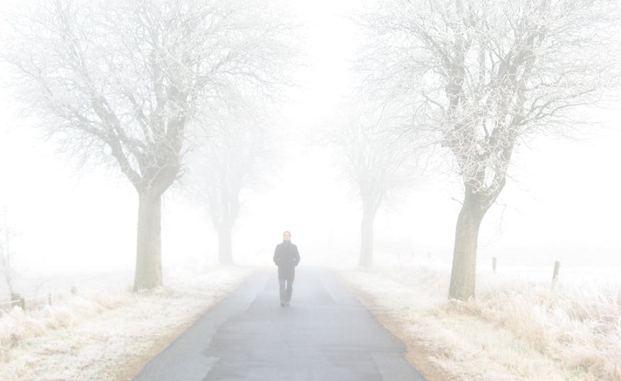
A snow squall is officially an intense short-lived burst of heavy snowfall that leads to quick reduction in visibilities and is often accompanied by gusty winds. Sudden white-out conditions and slick roadways can lead to high speed accidents with large pile-ups that may result in injuries and fatalities.
Sudden low visibilities is the primary concern with these squalls. While up to an inch is possible in some isolated areas, only a quick coating of snow is expected for most other areas impacted by these squalls. Winds may be come extremely gusty and strong during the squalls. But as with most squalls, the bad weather should race away just as quickly as it hits.
Current high-resolution, short-duration mesoscale computer forecast models project that the squall line will form near the eastern Great Lakes around 5am, push into Albany, NY and the Poconos around or just after lunchtime, around Philadelphia and New York City around 2pm – 3pm, and eastern Long Island and the Boston metro area by 4pm – 5pm.
