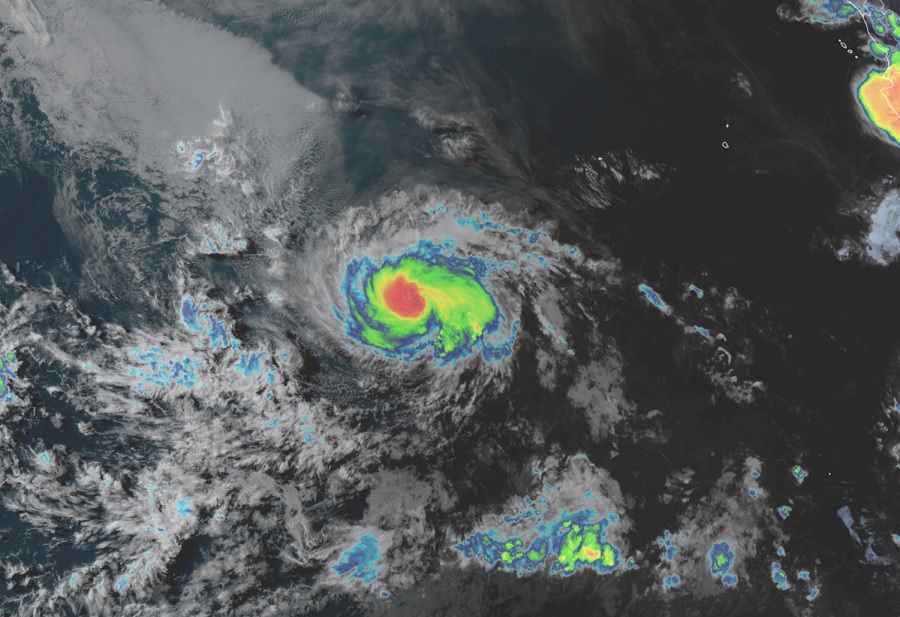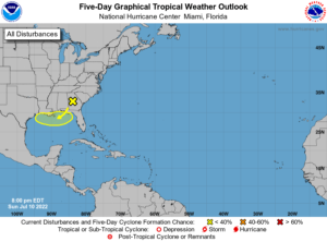
With the second week of the second month of 2022 Hurricane Season here, things are perking up a little bit: Tropical Storm Darby has become a hurricane in the Eastern Pacific Hurricane Basin while the National Hurricane Center (NHC) is keeping a close eye on a disturbance approaching the northern coast of the Gulf of Mexico.
As of the latest update from the National Hurricane Center, Darby is located roughly 905 miles southwest of the southern tip of Baja California. Maximum sustained winds have increased to 75 mph. Darby is moving to the west at 17 mph with a minimum central pressure of 993 mb or 29.33″.
The NHC upgraded Darby from Tropical Storm status to Hurricane status this evening. It will continue moving west for the next day or two, with a gradual turn to the west-northwest turn expected by the middle of the week. Darby is getting stronger and the NHC expects it will gain additional strength over the next day or two. By midweek, though, Darby will plateau and weaken. Even so, the storm is located over open waters of the Eastern Pacific well away from Hawaii and Mexico; as such, no impacts to land are expected.

While Darby is of no threat to the U.S., the NHC is keeping an eye on a disturbance that could threaten the U.S. Gulf Coast in the coming days. A surface trough of low pressure is expected to form in a couple of days over the northern Gulf of Mexico, partially related to a decaying frontal boundary currently located over the southeastern United States. According to a Tropical Outlook issued by the NHC today, some slow development of this system is possible if it remains offshore during the middle and latter part of the week while it moves little. For now, the NHC believes there’s a low 30% chance of tropical cyclone formation here over the next five days.
Regardless of any tropical cyclone development, heavy rains will be possible along portions of the northern Gulf coast from Louisiana to the Florida Panhandle over the next several days. Heavy rain here could create isolated flash flooding concerns over the next several days. If a tropical cyclone does take shape, additional threats of storm surge flooding, wind damage, and even more fresh water flooding could become a concern.