An earthquake rattled portions of Virginia early today, generating reports of shaking that were sent to USGS via their “Did you feel it?” tool on their Earthquake Website. While shaking reports were received by USGS, there were no damage reports made from today’s quake.
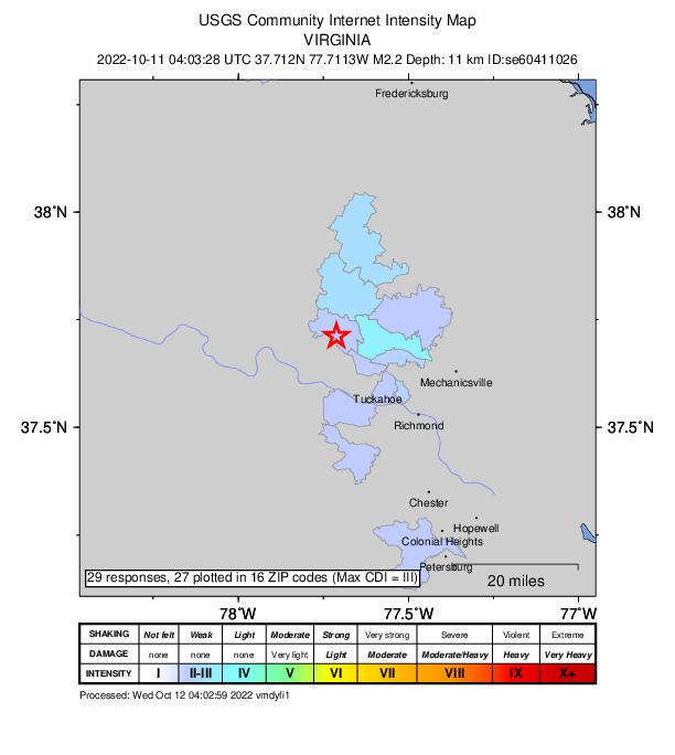
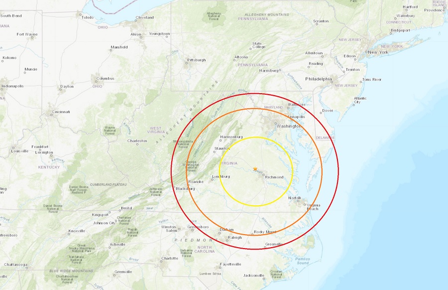
The earthquake, which struck at 12:03 am, had an epicenter that was six miles west-northwest from Short Pump and 17 miles northwest of Richmond. USGS originally rated the earthquake as a magnitude 2.4 seismic event, but downgraded the rating to a 2.2. Shaking was felt around the Richmond area and as far south as the Colonial Heights area south of the city. Residents went on social media to report hearing a loud boom followed by ground shaking.
Virginia doesn’t have much seismic activity but earthquakes can occur here from time to time. According to the Virginia Tech Seismological Observatory, Virginia has had over 160 earthquakes since 1977 of which 16% were felt. This equates to an average of one earthquake occurring every month with two felt each year. According to USGS, this was the first earthquake of the last 30 days and the 34th earthquake in the last full year.
Virginia can get damaging earthquakes too. The strongest in modern times was the magnitude 5.8 earthquake that struck near Mineral, Virginia, on August 23, 2011. That seismic event was widely felt–from Maine to Georgia, west to Cincinnati, Cleveland, and Chicago, and southeastern Canada–over a broad area inhabited by one-third of the U.S. population. When the earth stopped shaking, more than 148,000 people reported their experience of the earthquake on the USGS website. The total economic losses from the earthquake were about $200−300 million, which included millions of dollars in damage to the National Cathedral, the Armed Forces Retirement Home, and the Washington Monument in Washington D.C., as well as minor to major damage to almost 600 residential properties. It was the largest and most damaging earthquake in the eastern United States since the 1886 Charleston, South Carolina earthquake. Damage in the epicentral area represents Modified Mercalli intensity VIII, with many instances of broken and collapsed masonry walls and chimneys, as well as shifting of structures on their foundations. Significant damage occurred to structures at distances in excess of 80 miles to the northeast in the Washington DC area. The rupture process was a complex reverse fault event, initiating at a depth of 8 km.
