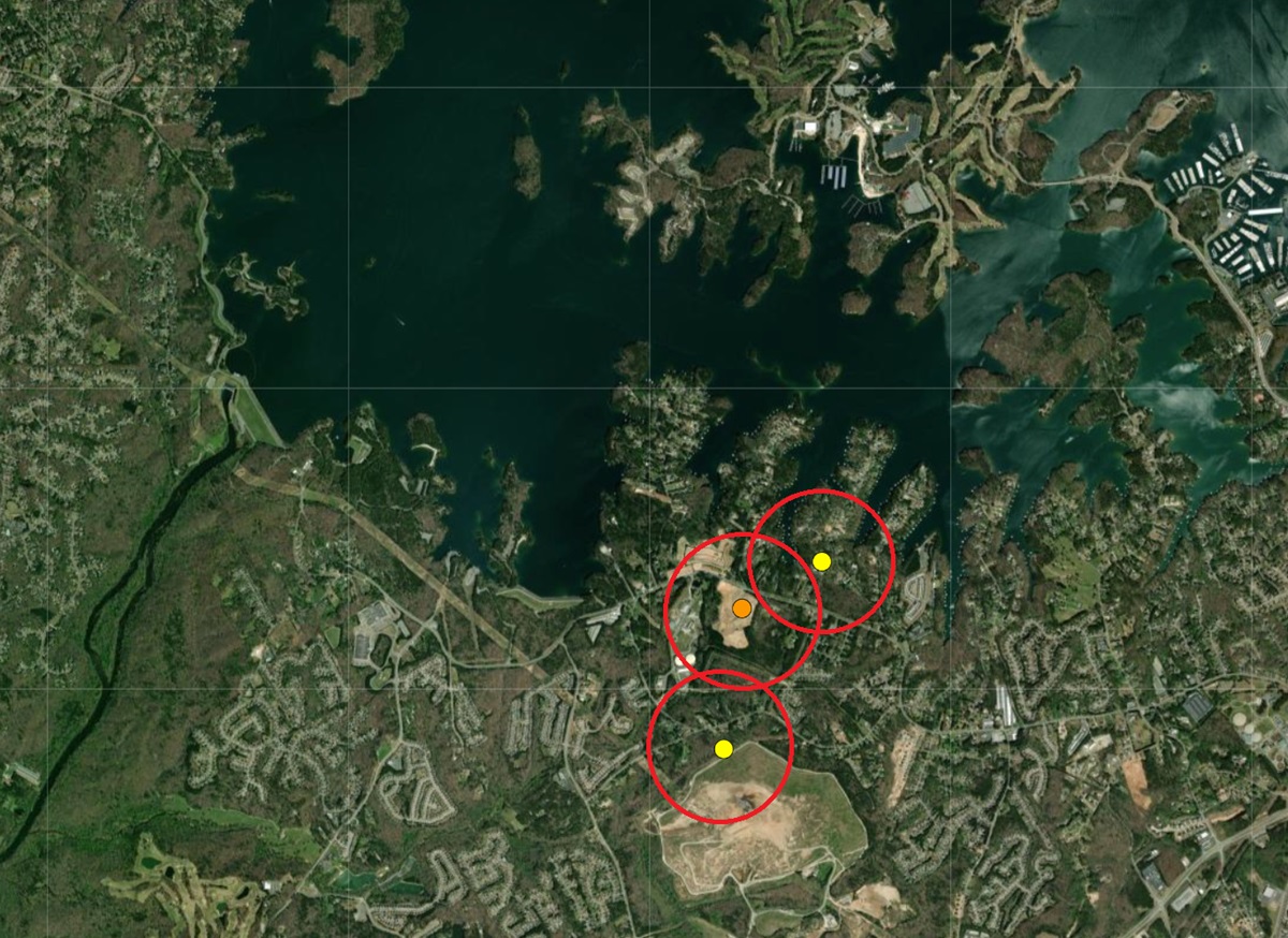
An interesting sequence of earthquakes appears to be occurring not far from the Buford Dam on Lake Lanier in Georgia, in an area north and east of Atlanta. According to USGS, three earthquakes have struck the area in the last 4 days, with 1 striking late on the 6th, another during the early morning hours of the 7th, and the most recent hitting yesterday at 8:37 pm. The earthquakes have been relatively weak but noticeable, with more than 300 reports of shaking being sent to the USGS via their “Did you feel it?” online reporting tool on the USGS website.
The first earthquake was a magnitude 2.5 event from a depth of 4.1 km; the second was a magnitude 2.1 event from a depth of 8.5 km; the third was a magnitude 2.3 event and had a depth of 2.3 km. While the depths of the epicenter have been going up and down, the location of the epicenters are within 5,000 feet of each other.
The earthquakes are near the southern bank of Lake Lanier which is a man-made reservoir in the northern portion of Georgia. It was created by the completion of Buford Dam on the Chattahoochee River in 1956, and is also fed by the waters of the Chestatee River. The lake encompasses 38,000 acres or 59 square miles. Named for Confederate poet Sidney Lanier, it was built and is operated by the U.S. Army Corps of Engineers for flood control and water supplies. During its construction, more than 50,000 acres of farmland were destroyed and more than 250 families, 15 businesses, and 20 cemeteries needed to be relocated away.

The Buford Dam provides 250 million kwh of hydroelectric power annually to the surrounding Atlanta area.
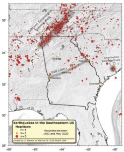
According to Georgia’s Emergency Management and Home Security Agency (GEMA), approximately 15 percent of the world’s earthquakes are scattered over areas like Georgia that lack clearly defined active faults. Although earthquakes in Georgia are comparatively rare, scattered earthquakes caused significant damage and are an important consideration for homeowners. Georgia’s northwest counties, South Carolina border counties, and central and west central Georgia counties are most at risk.
The area around Lake Lanier where these three earthquakes occurred are not known for seismic activity. There are no known active faults near the epicenter of these earthquakes, according to USGS.
GEMA recommends that people in Georgia plan for the risk of damaging earthquakes, especially if they’re in the northern Georgia counties of Bartow, Catoosa, Chattooga, Dade, Fannin, Floyd, Gilmer, Gordon, Murray, Pickens, Rabun, Towns, Union, Walker, and Whitfield, the South Carolina border counties of Burke, Chatham, Columbia, Effingham, Elbert, Lincoln, Richmond, and Screven, and central and west-central counties of Twiggs, Bibb, Jones, Baldwin, Hancock, Greene, Putnam, Butts, Jasper, Newton, Morgan, Walton, Harris, and Muscogee.
GEMA writes, “It’s important to be aware of your earthquake risk and to know how to protect yourself.” They encourage people to take a moment now to learn basic steps they should take before, during, and after an earthquake.