While portions of the northeastern United States continue to dig out from this week’s big blizzard which brought more than 20″ of snow to some places, eyes are already on the next coastal threat. Extended forecast guidance from most major global weather models continue to signal the threat of yet another coastal storm along the east coast, bringing another potential of wind-whipped heavy precipitation to an area that has seen plenty this month.
After the third nor’easter in two weeks, it appears number four could arrive as early as Tuesday night. Before then, though, conditions would be fair and calm. High pressure will re-establish itself over the Mid Atlantic by Sunday, bringing sunshine and relatively light winds. This high will weaken and move off to the east Monday as clouds begin to increase ahead of the next system.
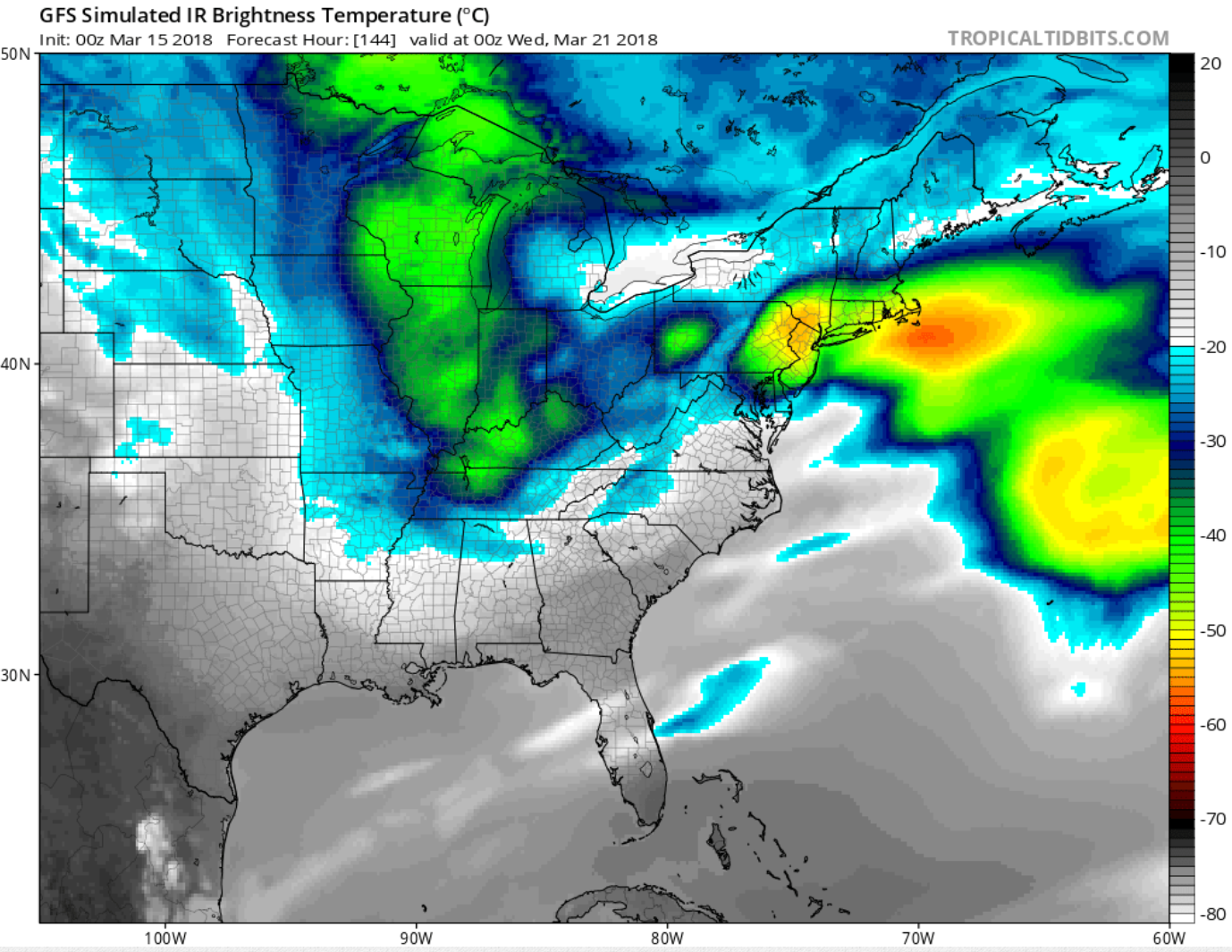
At this time, forecast models are still indicating the potential of for a storm on the east coast beginning sometime as early as next Monday night into late Tuesday might. As with many storm systems this far out, there are many forecast uncertainties. This system will be driven by upper level energy currently located near the US west coast. This energy is forecast to move across the country over the weekend into early next week. Significant uncertainty exists with this energy: meteorologists are not yet certain whether this energy comes across as one main piece or fractures into several weaker waves. The strength and number of waves will have a bearing on the eventual east coast storm’s evolution, strength, and track. If the primary low remains dominant and tracks north into the Ohio Valley, warmer temperatures will surge up the coastal plain, producing soaking rains along the I-95 corridor. If there is significant secondary development off the coast, such an atmospheric set-up would favor colder temperatures with a better chance for snow along the I-95 corridor, to places as far south as central Virginia and Washington, DC.
Unlike previous coastal systems that quickly departed the northeast, this system may slow down and linger for a bit. The latest forecast guidance suggests that the upper trough associated with this system may close off near the Mid Atlantic on Wednesday, keeping the threat of shower activity into the mid week period. Depending on how this storm system evolves, such a lingering upper trough could produce more snow or rain showers for the Mid Atlantic and New England.
While confidence is high that a storm system will move through this region during the early to mid part of next week, there is very little confidence in how the storm system will evolve. While the global forecast models are adamant that a system will form, they’ve been making significant changes to their forecast solutions in subsequent model runs. Without any run-to-run model consistency and without any model-to-model alignment and/or consistency, confidence in details such as rain/snow line and precipitation and wind amounts remain very low. Until the upper level energy over the US west coast is better understood this weekend, doubt will persist in the forecast for this storm.
