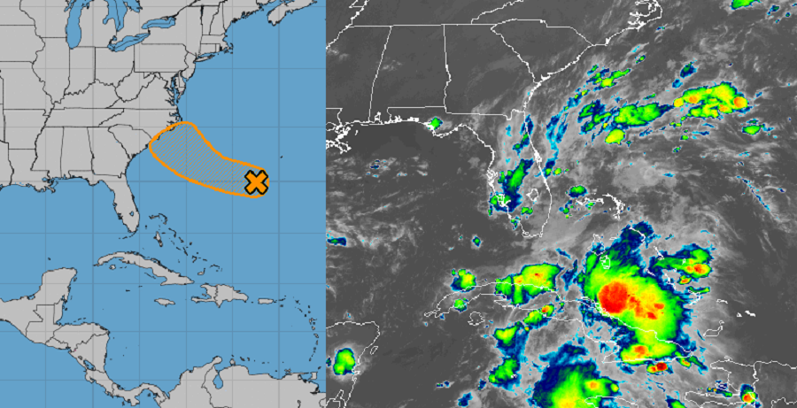
While today’s focus has been on newly formed Tropical Storms Paulette and Rene, meteorologists at the Miami, Florida based National Hurricane Center (NHC) are also keeping an eye on an area of disturbed weather located well south and east of the U.S. East Coast.
An area of low pressure located more than 200 miles southwest of Bermuda is producing disorganized showers and thunderstorms. According to the NHC, some gradual development of this system is possible during the next few days while the low moves slowly westward to west-northwestward closer to the U.S. East Coast. Since their last Tropical Outlook issued earlier today, the NHC did raise odds of tropical cyclone formation. There is now a 20% chance that a tropical cyclone will form here in the next 48 hours; those chances grow to a medium 40% over the next five days.
If a tropical cyclone does form and it becomes a named tropical storm, it would add to the record-breaking 2020 Atlantic Hurricane Season. When the next system in the Atlantic becomes a tropical storm, it would be given the “S” name which is Sally this year. To date, the earliest an “S” storm has formed is October 2 in 2005; that was Tropical Storm Stan.