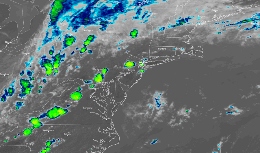
Flooding rains, severe thunderstorms, and isolated tornadoes are expected to impact portions of the northeast today, prompting the National Weather Service to issue many watches and warnings for the region.
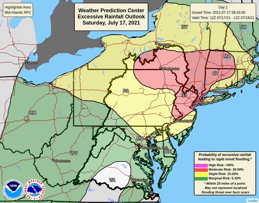
With recent heavy rains, soaked soils, and high rivers, the most widespread threat today will be from flooding. According to the National Weather Service’s Weather Prediction Center, there is a moderate risk of excessive rainfall which could lead to rapid onset flooding across the northern half of New Jersey, the western half of Massachusetts, portions of eastern and northeastern Pennsylvania, northwestern Connecticut, and southeastern upstate New York. Slow moving, drenching thunderstorms may dump a considerable amount of rain in a short period of time. Not only will this lead to flash flooding, but there could be river flooding too, even down-stream from the heavier showers and storms.
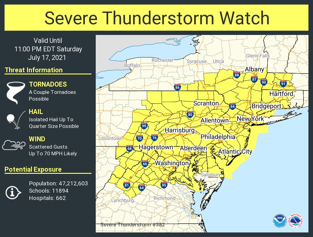
The National Weather Service also believe severe thunderstorms are likely in the region today. As such, the National Weather Service has issued a Severe Thunderstorm Watch in effect through 11 pm tonight for all of New Jersey and Delaware, most of Maryland, northern Virginia, the eastern two thirds of Pennsylvania including the Philadelphia metro area, southeastern New York including the New York City metro area, and western Connecticut and Massachusetts. Here, damaging winds are considered likely with gusts of up to 70 mph possible. Large hail up to quarter-size is also possible. Isolated tornadoes are possible too, especially over northeastern Pennsylvania and southeastern New York state. The Severe Thunderstorm Watch box up for the region covers a population of more than 47 million people.
The unsettled weather will persist for many days with more showers and storms expected in the region into the early part of the new week. With showers and storms lingering, the threat of flooding will persist for several days.
