Tropical Storm Franklin has been upgraded to Hurricane Franklin, making it the first hurricane of the 2017 Atlantic Hurricane Season. On average, the first hurricane in the season that stretches from June 1 through November 30 typically happens around August 10. The National Hurricane Center (NHC) made the upgrade in their 5pm ET advisory updates.

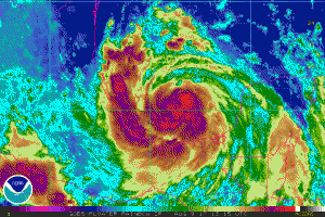
Hurricane Hunter aircraft observations from earlier today indicated that Franklin was very close to hurricane strength. Since the time of the last mission, the system has become better organized, with a faint eye occasionally making an appearance on visible satellite images. There is some northerly shear evident over the system; several arc clouds are also evident over the outer circulation’s northwest quadrant, perhaps a sign that some dry air is nearby. These environmental conditions are not expected to be detrimental enough, however, to prevent at least some additional strengthening before landfall tonight. An Air Force Hurricane Hunter aircraft is scheduled to investigate Franklin a few hours from now to check the strength of the cyclone.
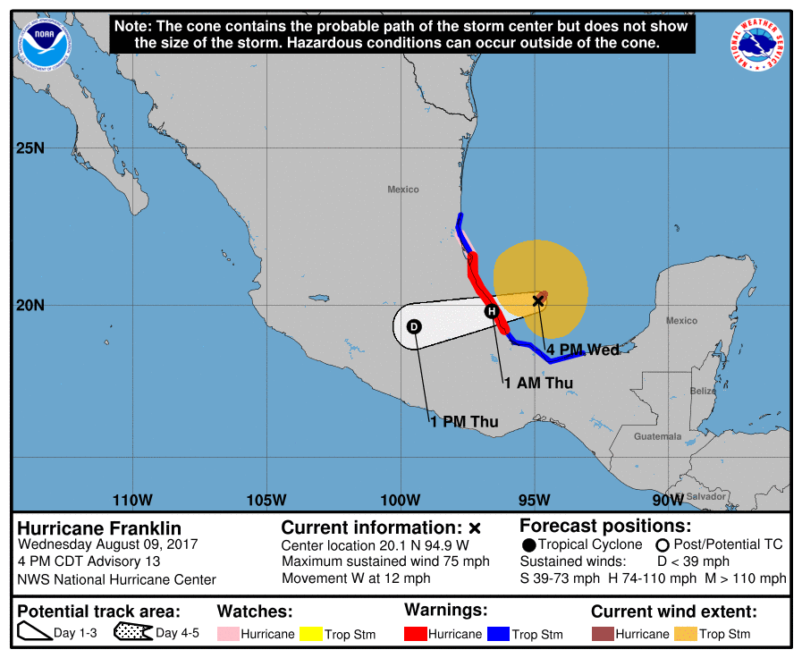
The hurricane continues to move westward and there are essentially no changes to the track forecast or reasoning. The flow on the southern side of a mid-level high pressure area near the Texas coast should continue to steer Franklin towards, and across, the southwest Gulf coast of Mexico.
After landfall, rapid weakening is forecast as Franklin moves into the mountains of eastern Mexico, and the low-level center is likely to dissipate completely within 2 days. It should be noted that some large-scale models re-form the low-level center over the Pacific as the remnants of Franklin reach that basin in about 3 days.
Right now, a Hurricane Warning is in effect for the coast of Mexico from Puerto de Veracruz to Cabo Rojo while a Hurricane Watch is in effect for the coast of Mexico north of Cabo Rojo to Rio Panuco. A Tropical Storm Warning is in effect for the coast of Mexico east of Puerto de Veracruz to Ciudad del Carmen and the coast of Mexico north of Tuxpan to Barra del Tordo. A Hurricane Warning means that hurricane conditions are expected somewhere within the warning area, in this case within 24 hours. Preparations to protect life and property should be rushed to completion. A Hurricane Watch means that hurricane conditions are possible within the watch area. A Tropical Storm Warning means that tropical storm conditions are expected somewhere within the warning area.
Experts believe this Atlantic Hurricane Season, which runs through to the end of November, will be a busy one. Dr. Phil Klotzbach and the experts at Colorado State University updated their seasonal outlook again on July 5, showing a much more active than normal season expected. The National Oceanic and Atmospheric Administration (NOAA) also released their own forecast which shows this hurricane season to be likely more active than others.