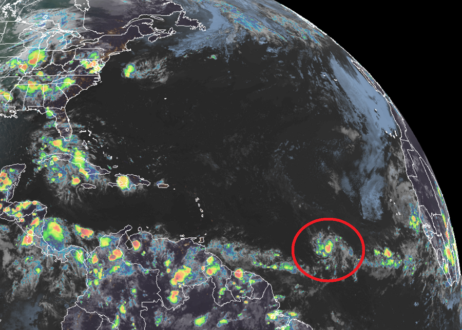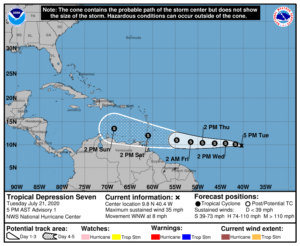
Tropical Depression #7 has formed in the central Atlantic Ocean and is forecast by the Miami-based National Hurricane Center to become a named tropical storm in next 12 hours. If it gets named, it would be called Gonzalo. It would also break a record: the current record for earliest seventh named storm formation in the Atlantic hurricane basin was 2005’s Gert, which was named on July 24 of that year.

While Gonzalo could be a threat to the U.S. in the future, it won’t be the next tropical threat in the U.S. The next threat will be Douglas, a growing storm in the Pacific, which could bring impacts to Hawaii as soon as this weekend. Douglas is forecast to become a hurricane within the next 24 hours; it may even reach Major Hurricane Status.
As of the 11 pm AT outlook from the National Hurricane Center, the center of Tropical Depression #7 was located near latitude 10.0 North, longitude 41.3 West. The depression is moving toward the west-northwest near 9 mph. A faster westward motion is expected during the next few days. Maximum sustained winds are near 35 mph with higher gusts. The estimated minimum central pressure is 1008 mb or 29.77 inches. The National Hurricane Center official forecast brings the depression to tropical storm strength by Wednesday afternoon.
The storm is currently projected to be near Aruba by Sunday afternoon. Beyond that, it is too soon to know whether it’ll move north and threaten Cuba, the Bahamas, and possibly the U.S. East Coast, or continue northwest and threaten Jamaica, Cancun, and perhaps the U.S. Gulf Coast.