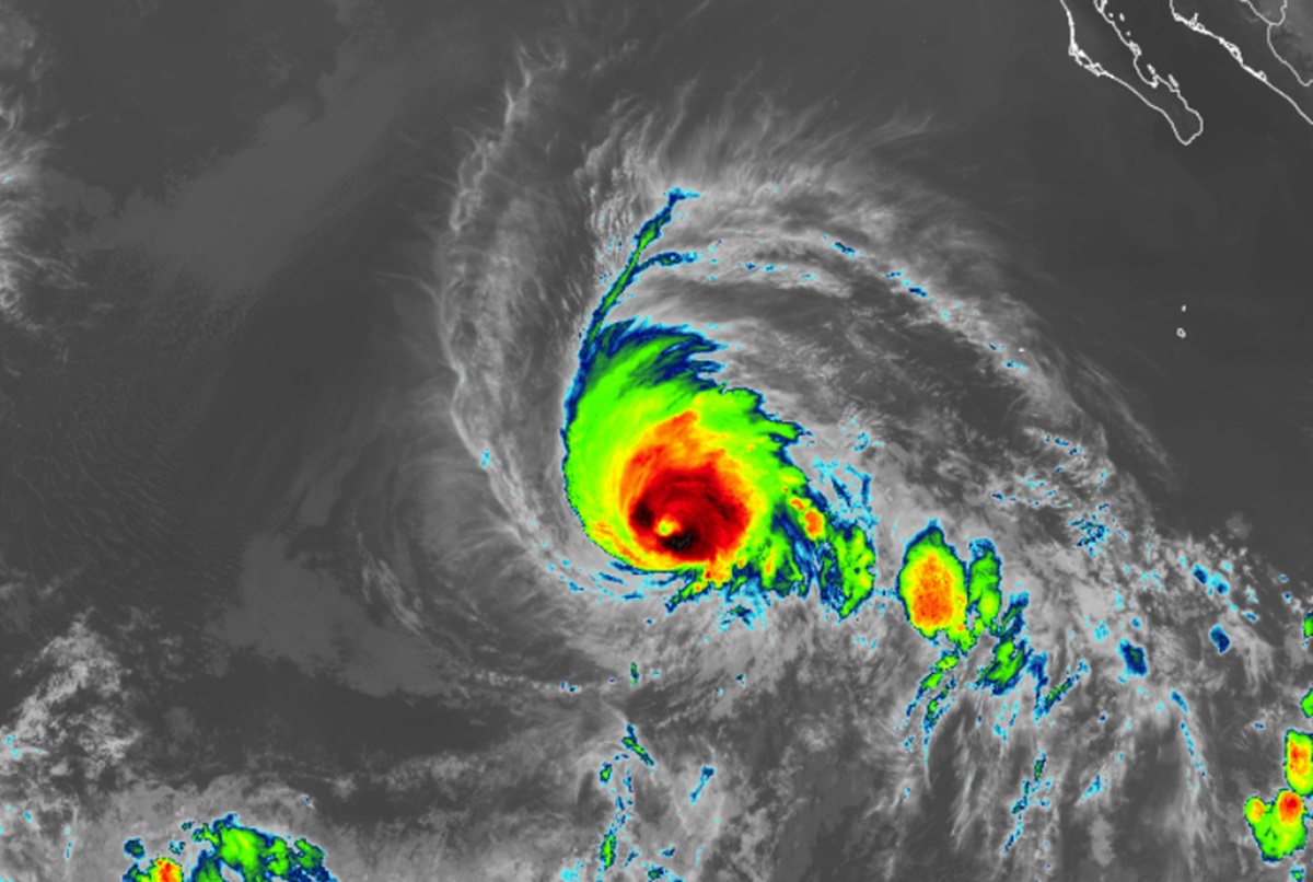
Hurricane Kristy grew into a powerful category 5 hurricane on the Saffir-Simpson hurricane wind scale today with maximum sustained winds of 160 mph before dropping down to 155 mph, an intensity it has been at much of today. Fortunately, the storm is over the open waters of the Eastern Pacific and is not forecast to impact any land mass while it is a tropical cyclone.
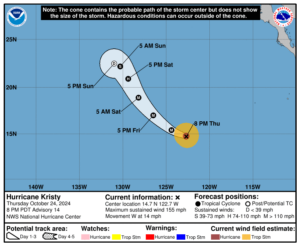
As of the latest advisory from the Miami, Florida-based National Hurricane Center (NHC), the center of Kristy was located at 14.7N 122.7W which is about 1,010 miles west-southwest of the southern tip of the Baja California. The storm has a minimum central pressure of 926 mb or 27.35″.

Kristy is moving toward the west near 14 mph. According to the NHC, the hurricane is expected to turn west-northwestward and then northwestward on Friday, and slow down over the weekend. Some fluctuations in intensity are expected through Friday morning, with rapid weakening expected to begin by Friday night. By Sunday night, the storm is forecast to be a post-tropical storm and no future impacts by the storm or its remnants are expected across Hawaii at this time.
Hurricane-force winds extend outward up to 30 miles from the center and tropical-storm-force winds extend outward up to 105 miles.
Swells generated by Kristy will affect portions of the west coast of the Baja California peninsula on Friday and Saturday. These swells are likely to cause life-threatening surf and rip current conditions.