
Hurricane Otto lost some organization earlier today and was downgraded to a Tropical Storm; however, the National Hurricane Center believes it will strengthen again back to Hurricane status before making landfall in Central America on Thanksgiving Day. Residents there, along with vacationers, including those who may be visiting for the Thanksgiving holiday, should rush storm preparations to completion.
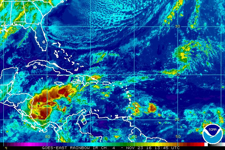
The last Air Force Reserve reconnaissance mission reported that the eyewall has dissipated, along with a 6-mb rise in pressure. Still, the maximum 700-mb flight-level winds were 68 kt, with SFMR winds of about 50kt. The initial intensity is conservatively reduced to 60 kt in the last advisory. It appears that the southeasterly shear has been a little stronger than forecast yesterday, which has allowed some drier air to mix into the cyclone. This is evident in the inner-core data from the Air Force mission, which showed rather low dewpoints at 700 mb. The global models are suggesting the shear will decrease before landfall, and Otto should be moving over warmer waters later today that have not be subjected to any storm-forced upwelling. These factors suggest some restrengthening is possible overnight and Thursday, which is consistent with the bulk of the guidance models.
Stronger shear over the eastern Pacific is expected to cause gradual weakening of Otto in that basin, with remnant low status likely by day 5. The official intensity forecast has been reduced somewhat from the last one but still calls for Otto to be a hurricane at landfall.
Aircraft fixes show that Otto continues to move toward the west-northwest at 4 kt. A building mid-level ridge to the north of Otto should cause the tropical cyclone to turn westward and accelerate tonight. Late in the period, a motion south of due west is indicated as the mid level ridge amplifies over the eastern Pacific. Model guidance is tightly clustered on this solution, and the latest official forecast is very close to the previous one.
A Hurricane Warning is in effect for:
* Limon Costa Rica to Bluefields Nicaragua
A Hurricane Watch is in effect for:
* North of Bluefields to Sandy Bay Sirpi Nicaragua
* South of Limon to the Costa Rica/Panama border
A Tropical Storm Warning is in effect for:
* North of Bluefields to Sandy Bay Sirpi Nicaragua
* San Andres
A Tropical Storm Watch is in effect for:
* West of Colon Panama to the Costa Rica/Panama border
* Puntarenas Costa Rica to Puerto Sandino Nicaragua
A Hurricane Warning means that hurricane conditions are expected somewhere within the warning area. Preparations to protect life and property should be rushed to completion.
A Hurricane Watch means that hurricane conditions are possible within the watch area, usually within 48 hours.
A Tropical Storm Warning means that tropical storm conditions are expected somewhere within the warning area within 36 hours.
A Tropical Storm Watch means that tropical storm conditions are possible within the watch area, generally within 48 hours.
Interests elsewhere in Nicaragua, Costa Rica, and Providencia Island should monitor the progress of Otto.
While tropical cyclones and their remnants have impacted Central America before, no hurricane has ever struck Costa Rica since records were maintained in 1851. It is also the latest hurricane to form in the Atlantic basin since Epsilon in 2005. Otto is the latest calendar year hurricane in the western Caribbean since Martha in 1969 (by a day) and the second latest on record since 1851.
Visit our Tropical Weather Page here for further information about this system and a review of all tropical cyclones that were near US waters for the 2016 season: https://weatherboy.com/hurricanes-tropical-weather/
