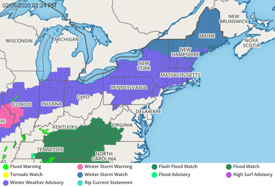
A mixed bag of weather is moving into the northeast; with some cold air in place, some light frozen precipitation will make things icy and hazardous. But as milder air moves in, most precipitation will fall in liquid form; and because of excessive rainfall amounts expected, flooding is possible.
Several ingredients are coming together to create this meteorological mess. A front will be nearly stationary in the southern Mid Atlantic today while high pressure builds in from the north. Low pressure will track up the Ohio Valley to near the eastern Great Lakes tonight and Thursday, pulling a warm front northward. A much stronger low will tracks through the region later Thursday night and Friday morning pulling a cold front through.
This stronger low is likely to produce soaking, heavy rains. Some areas could see 3″ or more of rain. For now, it appears the heaviest rain from this storm will fall over central and southern New Jersey, southeastern Pennsylvania, and Delaware. Had it been cold enough to support snow, more than a yard could have fallen here; but with a lack of cold air and a weather pattern to hold it in place, only rain is expected in this area from this storm.