For wintertime snow lovers, January 2024 will end on a thud, with a generally inconsequential light rain and snow event forecast for the final days of the month. While a winter weather system moving through the northeast today into tomorrow will bring accumulating snow to portions of the northeast, no other significant winter storm is on the horizon.
Once the current weather system responsible for today’s snow in the northeast clears the coast tomorrow, a mid-level ridge will pass overhead the Mid Atlantic on Tuesday. An area of high pressure will nudge in from the north, moving southeastward off the New England coast by Tuesday Night. The result will be quiet weather and near-seasonable temperatures Tuesday.
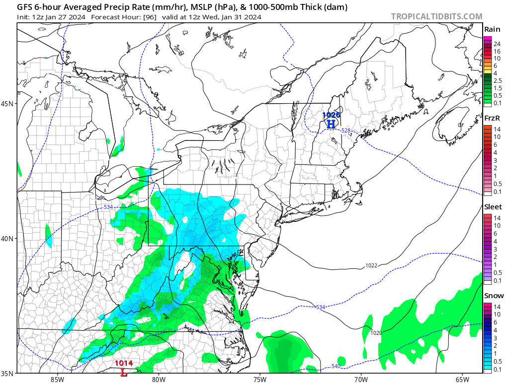
On Tuesday night, a closed upper-level low pressure system \ will move from the Upper Midwest down toward the Blue Ridge Mountains while a weakening surface low will take a similar track. Known as an Alberta Clipper due to its origins in western Canada and its fast moving clipper-like speed, the system will be starved for moisture and will be moving too quickly to produce much in the way of significant precipitation.
As it moves through the Mid Atlantic on Wednesday, some light rain or snow showers are expected across portions of the Mid Atlantic, with Pennsylvania, Maryland, Virginia, and West Virginia expected to see much of the light precipitation. With high pressure still under control in New England, no precipitation is expected north of New York City for this weather event.
As the storm system moves off-shore, it is expected to intensify significantly into a decent storm. However, the intensification should happen well-off shore and not impact the U.S. east coast.
