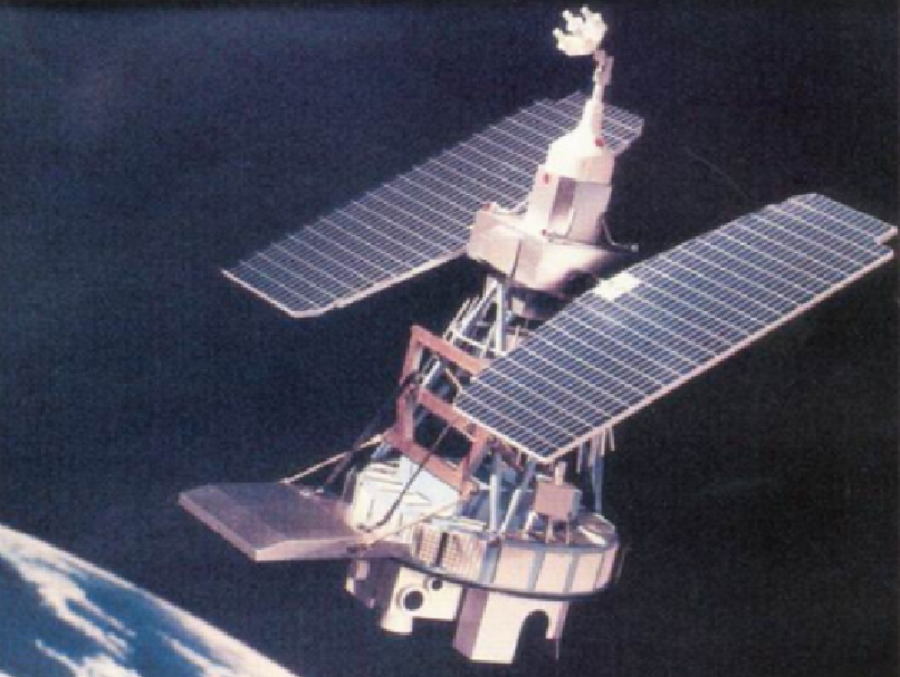
Today, July 23, 2021, is the Landsat-1 Earth Observing Satellite’s 49th birthday. Launched on this date in 1972, the Landsat-1 was the first of a series of satellite missions jointly managed by NASA and the U.S. Geological Survey (USGS). When it was launched, it was initially called the Earth Resources Technology Satellite, or ERTS-1 for short. The launches of Landsat-2, -3, and -4 followed in 1975, 1978, and 1982. Landsat is a part of the USGS National Land Imaging (NLI) Program. Landsat data is processed and hosted at the USGS Earth Resources Observation and Science (EROS) Center
The multi-agency Earth Resources Satellites Program was begun in 1966 by the Department of the Interior. The goal of the program was to gather data from the Earth via remote sensing Landsat-2 began in 1967. In 1968 and 1969, NASA conducted studies with multispectral scanners for the satellite. At the same time, Hughes entered into a contract with NASA to complete the multispectral scanner (MSS) for Landsat-1. In 1970, General Electric was selected as the prime contractor for the Earth observing satellite; it was manufactured by GE’s Space Division located in Valley Forge, Pennsylvania.

Landsat-1 was built on a weather satellite platform, building off the Nimbus series of weather satellites of the time.
Landsat-1 was launched atop a Delta 0900 rocket out of Vandenberg Air Force Base in California. After launch, the spacecraft was placed in a sun-synchronous orbit, with an altitude of roughly 565 miles; it orbited the Earth every 103 minutes. Ground breaking at the time, it was the first satellite launched with the sole purpose of studying and monitoring planet Earth.
Landsat 1 operated until January 1978, outliving its design life by five years. According to NASA, the quality and impact of the resulting information exceeded all expectations.
On January 14, 1975, eight days before the second earth observing satellite was to launch, NASA announced that ERTS-1 was renamed Landsat 1 and ERTS-B would be named Landsat 2 after launch.

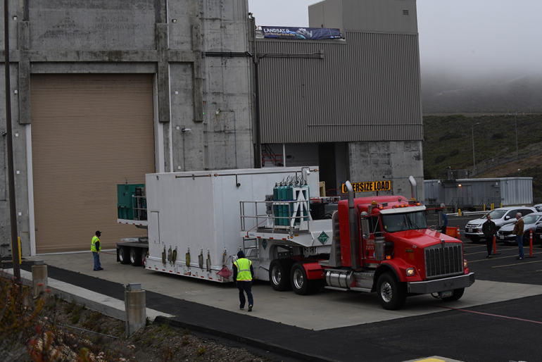
Today, scientists are preparing for the 2021 launch of Landsat-9. Like all of the missions before it, Landsat 9 is a joint mission of NASA and the USGS. According to NASA, Landsat 9 is the most advanced satellite in the Landsat series; it will extend the data record of Earth’s land surface that began with the first Landsat satellite in 1972. Landsat’s high-quality scientific data makes multi-decadal time series studies possible, and its data are regularly used for land management efforts around the world.
Landsat-9 is due to launch from launchpad SLC-3E at the now-Vandenberg Space Force Base in California on September 16. Built by Northrop Grumman, Landsat-9 will continue the series of Landsat images of Earth. The satellite will be lifted off into space on top of a United Launch Alliance Atlas 5 rocket flying in the 401 vehicle configuration with a four-meter fairing, no solid rocket boosters, and a single-engine Centaur upper stage.