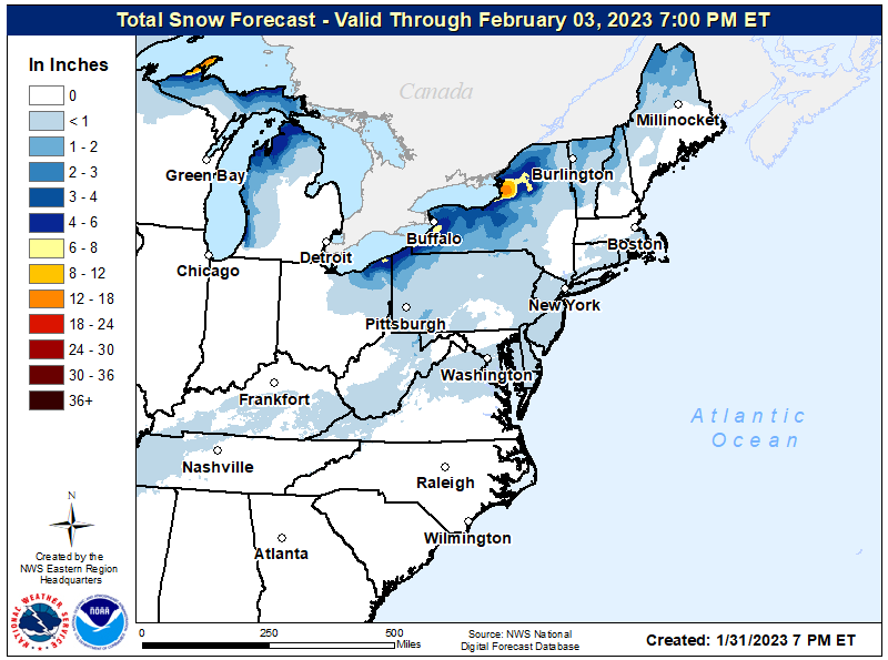
February will kick-off with some light snow showers in the Mid Atlantic region, where snow has been significantly lacking thus far this season. But you probably won’t need much in the way of shovels or boots: accumulations will be light, with a dusting possible. With the exception of Lake Effect snow band areas down-wind of the Great Lakes, much of the Northeast and Mid Atlantic will see an inch or less of snow from this system.
A wave of low pressure developing along a front located in the central Mississippi Valley late tonight may bring some light snow to portions of the Mid Atlantic and Northeast through early Wednesday. High pressure will build into the region through Wednesday night, bringing fair weather and a return of seasonable temperatures. Another low pressure system will brush just south of the Mid Atlantic region late Thursday again, keeping most precipitation away from the snow-starved area.
While it won’t look like winter precipitation-wise, it will feel like it as February begins. A potent cold front marking the leading edge of a very cold Arctic air mass will approach from the northwest on Friday afternoon. It appears some bitterly cold conditions will arrive into the region from Friday night into Saturday morning. While this cold air could rival the bitter cold this area had the week before Christmas in terms of intensity, it shouldn’t be as prolonged with temperatures already looking to moderate back to normal by Sunday.