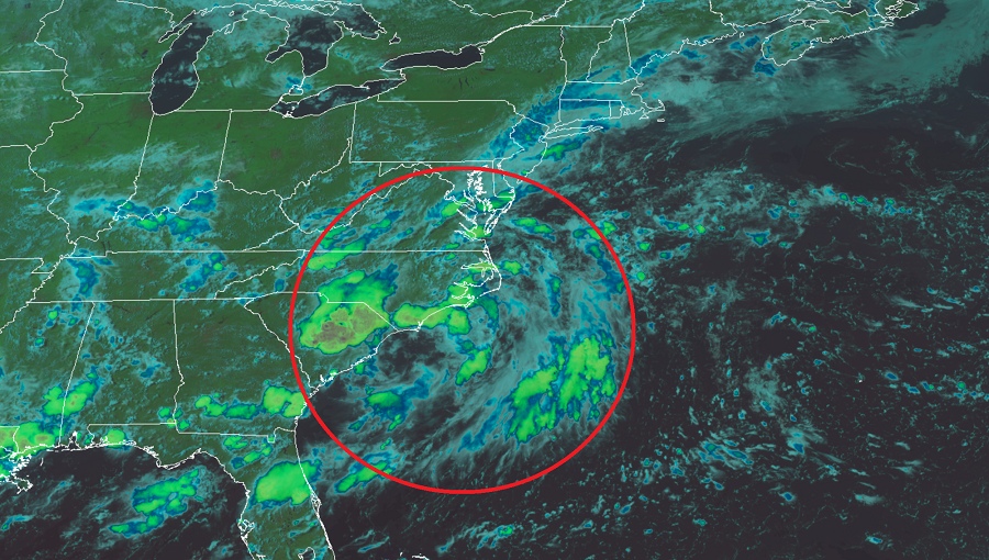
In their latest Tropical Outlook, the National Hurricane Center (NHC) says they’re monitoring an area of disturbed weather off of the Carolina coast for signs of possible tropical cyclone development. The disturbance has been producing very heavy rain over portions of South and North Carolina, eastern Virginia and Maryland, Delaware, southeastern Pennsylvania, and much of central and southern New Jersey over the last 36 hours.
According to the NHC, this low pressure area over eastern North Carolina is expected to move east-northeastward across the north Atlantic well to the south of New England and the Canadian Maritime provinces for the next several days. This system could acquire some subtropical or tropical characteristics during the next two to three days as it moves over warm sea surface temperatures.

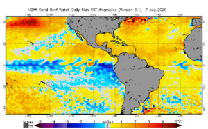
The Atlantic Ocean is well above normal when it comes to sea surface temperatures off the Mid Atlantic and New England coast. While colder waters typically found here can dampen cyclone formation, the well above normal sea surface temperatures can help stimulate growth.