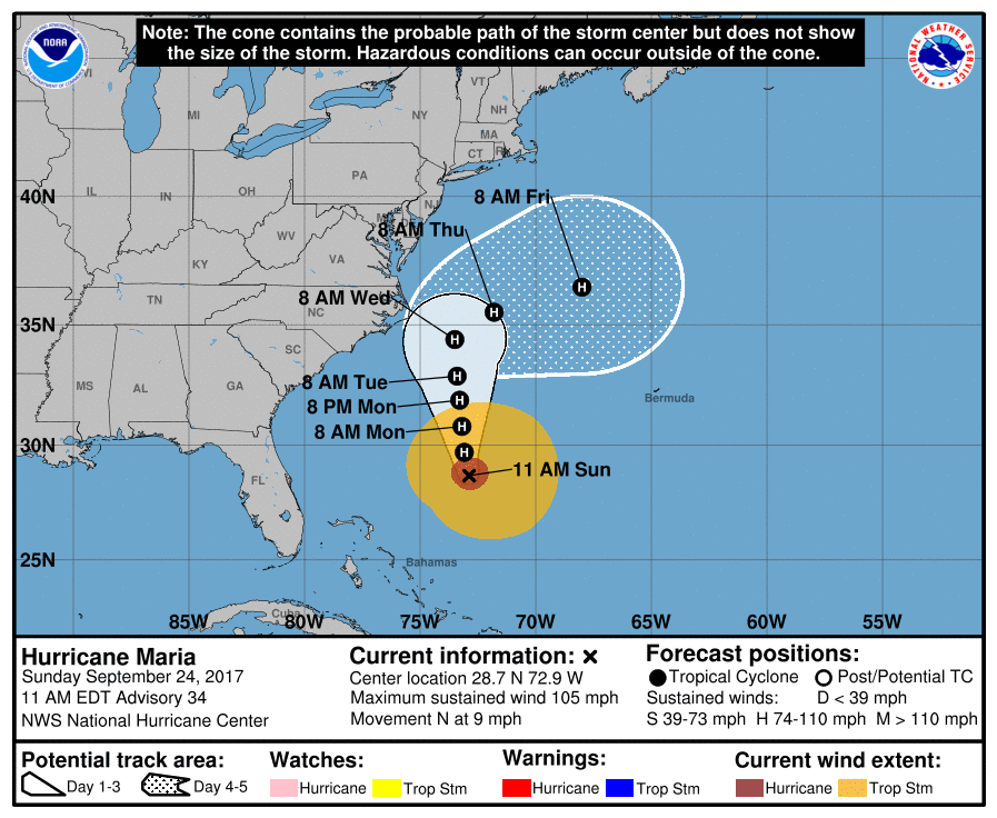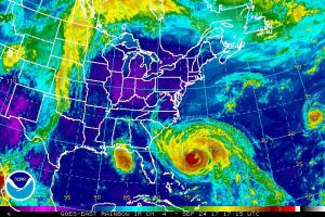
Hurricane Maria isn’t as strong as it once was, but it still is a threat to portions of the US East Coast; because of that, meteorologists are closely monitoring the tropical cyclone. According to the National Hurricane Center (NHC), the storm is located about 475 miles south south east of Cape Hatteras, North Carolina, and Tropical Storm or Hurricane Watches may become necessary for the Outer Banks and/or elsewhere in the Mid Atlantic later today.

Hurricane Maria is tracking in a northerly or northwesterly direction now and will continue to do so for the next several days; beyond that, though, the forecast becomes more challenging. A north-northwestward to northward motion is expected over the next 2 to 3 days while Maria is steered between a cut-off low/trough over the southeastern US and eastern Gulf of Mexico, and a subtropical ridge over the southwestern Atlantic. Maria is predicted to slow down within the next couple of days as a high pressure ridge builds to the north of the hurricane. At that point, Hurricane Maria is expected to stall and could do so very close to the Outer Banks.
By Wednesday, the ridge keeping Maria in place should weaken while a broad mid-latitude trough begins to move eastward over the northern United States. This change in the weather pattern should force Maria to head out to sea. If the pattern doesn’t evolve the way it’s expected to, Maria would continue to move up into the Mid Atlantic coast. The dynamical model guidance that the meteorology community uses to forecast tropical cyclones is in good agreement that the curve out to sea will occur, but there remains a fair amount of spread on the timing of recurvature, with the European ECMWF a little farther west and slower than much of the remainder of the guidance.
Because Maria is a very large hurricane, the associated tropical-storm-force winds could reach a portion of the North Carolina coast by mid-week regardless of the exact forecast track.
Some fluctuations in intensity could still occur during the next day or so while Maria moves over warm water and remains in a low shear environment. Later in the forecast period, cooler waters
from the wake of Hurricane Jose that traversed the same area last week will likely cause a gradual decrease in intensity.
The National Hurricane Center wants these two key messages shared with the public:
- Maria’s is forecast to continue moving northward, paralleling the US east coast, and it is likely that some direct impacts will occur along portions of the coast by midweek. Interests along the coast of the Carolinas and the Mid-Atlantic should monitor the progress of Maria, as tropical storm or hurricane watches may be needed for part of this area later today.
- Swells from Maria are increasing along the coast of the southeastern United States and are expected to reach the Mid-Atlantic coast today. These swells will likely cause dangerous surf and rip currents at beaches in these areas through much of the week.