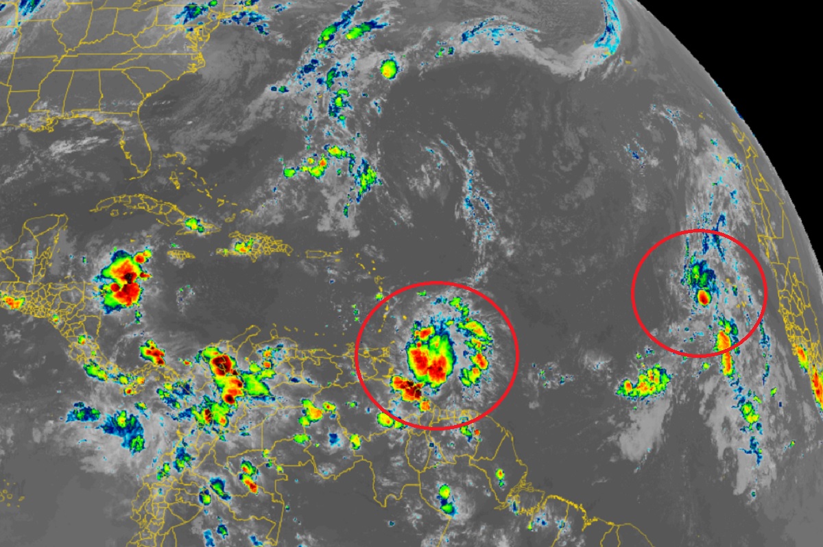
The Miami, Florida-based National Hurricane Center (NHC) is tracking two new tropical cyclone threats in the Atlantic Ocean. While one system will likely remain over open waters and not be a threat to North America, less is known about the future potential track of a system closer to the Caribbean.
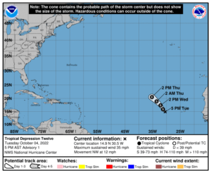
The first tropical cyclone of concern developed into a tropical depression earlier today. Forming west of the Cabo Verde Islands, it is forecast to have a short lifespan and not impact any significant landmass. As of the latest advisory from the NHC, the system, known as Tropical Depression #12, is located about 440 miles west of the Cabo Verde Islands and is heading northwest at 12 mph. The storm has maximum sustained winds of 35 mph and an estimated minimum central pressure of 1007 mb or 29.74″.

According to the NHC, little change in strength is forecast during the next couple of days, but the depression has some potential to become a tropical storm tonight or on Wednesday. If it were to be named, it would be called Julia. The system is expected to dissipate by Thursday night.
The next system isn’t as developed as Tropical Depression #12, but could evolve into a threat in the coming days. A broad area of low pressure located just east of the Windward Islands continues to produce a large area of showers and thunderstorms. The National Hurricane Center believes there is now an 80% chance that a tropical cyclone will develop here within the next 5 days.
Earlier data from the Air Force Reserve Hurricane Hunters indicated that the system did not yet possess a well-defined circulation center, with the majority of the shower and thunderstorm activity displaced to the southeast of the broader rotation. However, according to the NHC, upper-level winds are forecast to become more conducive for development, and a tropical depression is likely to form over the next several days if the system remains over open waters while moving westward at about 15 mph through the Windward Islands and
into the Caribbean Sea.
Another Air Force Reconnaissance mission is scheduled to investigate this system tomorrow morning, if necessary.
Regardless of development, heavy rainfall with localized flooding, as well as gusty winds, are expected over portions of the Windward Islands, northern portions of South America, and the ABC Islands during the next couple of days. In a Tropical Outlook issued by the NHC earlier today, they say, “Interests in those locations, in addition to those in Central America, should continue to monitor the progress of this system.”