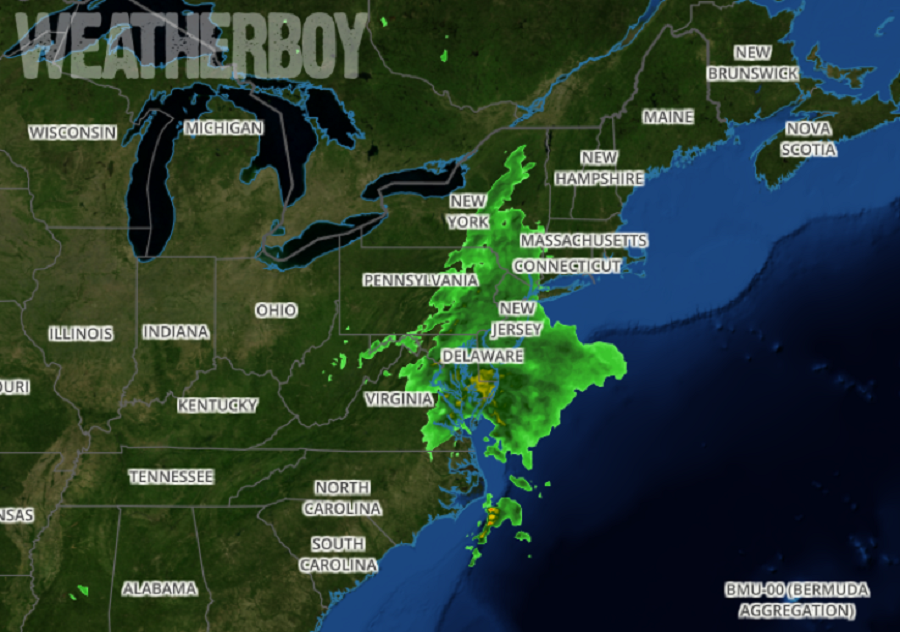
Nestor, which as a Tropical Storm made landfall on Florida’s Gulf Coast yesterday, has lost all of its tropical cyclone characteristics ; however, it is still packing a punch by bringing heavy rain to portions of Virginia, Maryland, Delaware, and New Jersey today.
After bringing soaking rains to a region that needs them today, the remnant low of Nestor is forecast to move out to sea tonight. As the storm slides east out to sea, precipitation will taper off fairly quickly from northwest to southeast tonight, with the last of the rain falling over southeast New Jersey around midnight tonight. As what’s left of Nestor moves away, weak high pressure will build in from the north. Winds will shift to the north behind the departing low, but winds will be light. Because there will be abundant ground moisture and light winds, patchy fog will form in portions of the Mid Atlantic tonight.
Before Nestor completely exists, some rain totals will be quite robust in the Mid Atlantic. Coastal Virginia should see the most with 3.5-4.5″ of rain possible. Chincoteague, Virginia, where a rocket is due to launch in less than 2 weeks, could see more than 4.5″ by the time the storm exits. Eastern Maryland and Delaware could see up to 3″ of rain. Heavy rain will be confined to the southernmost portions of New Jersey; Cape May County could see total rain amounts of 2-2.5″.
