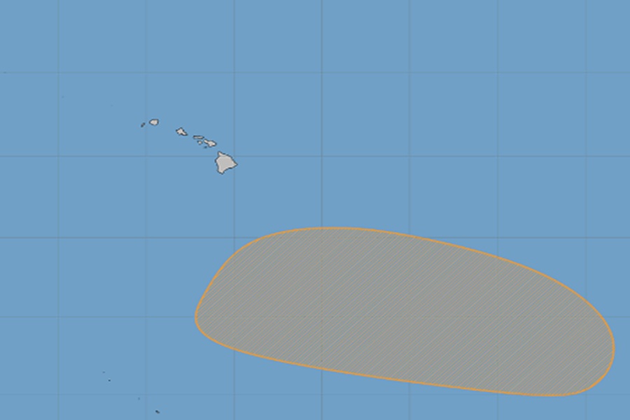
A new tropical cyclone could form near Hawaii this week, rubbing salt in the wounds of a state dealing with a hyperactive hurricane season that has lashed the islands with significant rain and wind over the last 2 months. The National Hurricane Center is tracking a disturbance south and east of the islands now that could blossom into a tropical cyclone by the middle of the week as it inches its way closer to the Aloha State. It is not yet known with certainty whether there’d be any direct or indirect impacts with the storm with Hawaii.
Today, forecasters at the National Weather Service office in Honolulu on the island of Oahu addressed the storm possibility. In their latest Tropical Outlook, they wrote, “…some model runs show a tropical system forming to our
southeast late this coming week. The models that do show this have the potential system moving west and staying to our south.” They add, “We will continue to watch for any increase in model consistency, and of course for guidance from NHC, through the coming days.”
The NHC, short for National Hurricane Center, increased odds of tropical cyclone formation here to 50% today, up from the 30% it was at yesterday. In today’s Tropical Outlook from the NHC, forecasters there say, “A broad area of low pressure is forecast to develop well to the southeast of the Hawaiian Islands in a couple of days. Thereafter, environmental conditions appear generally favorable for gradual development of this system, and a tropical depression could form by the middle to end of the week as it moves westward to west-northwestward over the Central Pacific basin.”
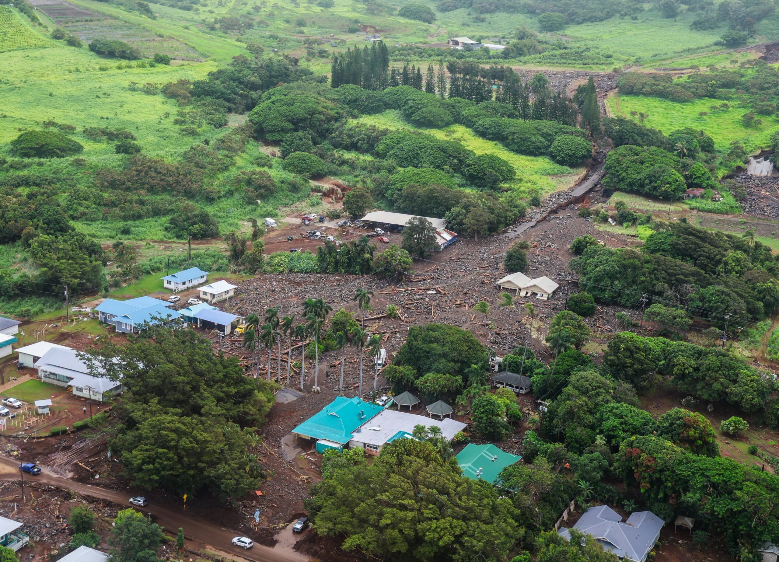
Recovery efforts continue in Hawaii from the three tropical cyclones that impacted the islands over the last few months. The three tropical cyclones that impacted Hawaii over the last few months are Hurricane Lala, Hurricane Lowell, and Hurricane Nolo. Fueled by a powerful El Niño season, these back-to-back storms battered the islands in quick succession. In mid/late August, Hurricane Lala brought severe flooding, 30′ waves, and destructive winds to the state, with the worst damage to portions of the Big Island of Hawaii. Lala was responsible for badly damaging or destroying over 200 homes and claiming at least two lives. Weeks later in early September, Hurricane Lowell hit Hawaii, with the worst impacts felt on the island of Kauai. Homes and resorts on the south and north facing coasts of Kauai were badly damaged or destroyed by storm surge flooding in that storm. And then in late September, Hurricane Nolo passed just south of Hawaii, bringing another round of heavy rain to the state. From that storm alone, Mount Waiʻaleʻale recorded an extraordinary 36.83″ of rain. There was also a fourth weak system that brushed by the islands between Lala and Lowell; that system, Tropical Storm Moke, only brought light rain and no additional damage to the state.
Flood clean-up continues today on portions of Kauai and Hawaii Islands from recent heavy rains that hit portions of the island over the last week, including heavy downpours which struck Kauai last night. The heavy rain is tied to moisture from a monsoonal trough and previous tropical cyclone, Olana, which has been sitting around Hawaii for many days. That moisture has finally moved on, with more traditional showers popping-up in the trades.
If this next storm becomes a named tropical storm in the Central Pacific, it would be given the name Pena.
While most computer models keep the center of circulation of this new storm off-shore, some runs show moisture from the storm impacting some of the islands. Prior models showed a landfalling tropical cyclone in Hawaii but those solutions have since backed off. But because of lack of run to run continuity and lack of model to model consistency, there is very low confidence in the forecast for this storm at this time.
