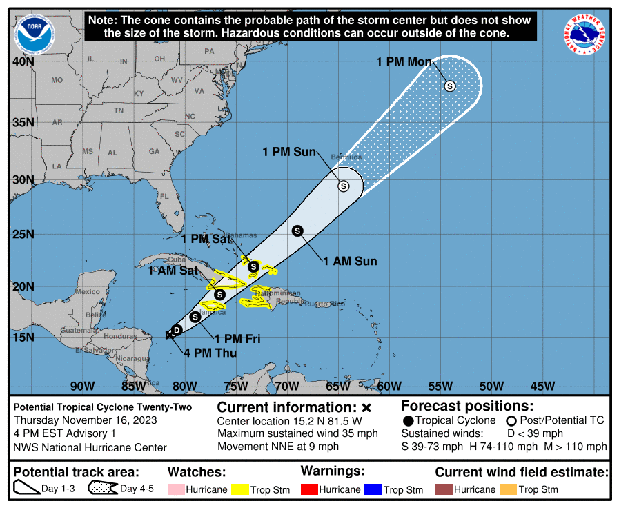
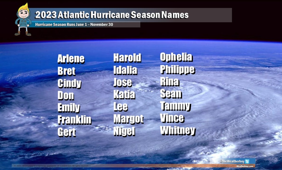
A developing system in the Caribbean labeled as Potential Tropical Cyclone #22 by the National Hurricane Center (NHC) has prompted authorities across many islands to issue fresh tropical storm watches. The governments of Cuba, the Bahamas, and Jamaica have decided to issue watches because the NHC believes the potential cyclone will become an actual cyclone soon. If the forecast materializes and the system becomes a tropical storm, it will be named Vince.
Right now, the system being closely monitored is about 365 miles west-southwest of Kingston, Jamaica and about 115 miles east of Cabo Gracias a Dios on the Nicaragua / Honduras border. The system has maximum sustained winds of 35 mph and is moving slowly to the north-northeast at 9 mph. The minimum central pressure is estimated to be 1004 mb or 29.65″.
A Tropical Storm Watch is now in effect for all of Jamaica and Haiti, the Cuban provinces of Guantanamo, Santiago de Cuba, Holguin, Granma,and Las Tunas, and for the southeastern Bahamas and Turks and Caicos Islands. A Tropical Storm Watch means that tropical storm conditions are possible within the watch area, generally within 48 hours.
According to the NHC, the system is expected to move to the northeast tonight with an increase in forward speed into the weekend. On the forecast track, the center of the system is expected to move across Jamaica late Friday, southeastern Cuba early Saturday, and the southeastern Bahamas and Turks and Caicos Islands on Saturday. While maximum sustained winds are near 35 mph with higher gusts, strengthening is forecast during the next few days, and the disturbance is expected to become a tropical storm on Friday.
Potential Tropical Cyclone #22 is expected to produce storm total rainfall of 5-10″ with maximum amounts of 16″ possible across portions of Panama, Costa Rica, Jamaica, southeastern Cuba, and Hispaniola through Monday morning. These rains are likely to produce flash flooding, along with mudslides in areas of higher terrain.
Minor coastal flooding is possible in areas of onshore winds along the southeastern coast of Cuba, the southeastern Bahamas, and the Turks and Caicos Islands.
Swells generated by the disturbance are expected to affect portions of Jamaica, Haiti, and southeastern Cuba during the next couple of days. These swells are likely to cause life-threatening surf and rip current conditions.
