NOAA’s Climate Prediction Center (CPC) has issued an El Nino Watch as part of its April ENSO outlook. ENSO, short for El Nino Southern Oscillation, is a recurring climate pattern involving changes in the temperature of waters in the central and eastern tropical Pacific Ocean. On periods ranging from about three to seven years, the surface waters across a large swath of the tropical Pacific Ocean warm or cool by anywhere from 1°C to 3°C, compared to normal. This oscillating warming and cooling pattern, referred to as the ENSO cycle, directly affects rainfall distribution in the tropics and can have a strong influence on weather across the United States and other parts of the world. El Niño and La Niña are the extreme phases of the ENSO cycle; between these two phases is a third phase called ENSO-neutral. While this phenomena impacts the entire United States, Hawaii may find itself particularly vulnerable this year to bad weather conditions.

According to the CPC, a watch is issued when conditions are favorable for the development of El Nino within the next six months. “While we are still in an ENSO-neutral phase – when no El Nino or La Nina is present – there is a 62% chance El Nino will develop sometime between May and July. This comes after nearly two continuous years of a La Nina,” wrote the CPC in their latest update.
NOAA scientists will continue to monitor the potential development of El Nino and will issue the next monthly update on May 11, 2023.
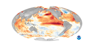
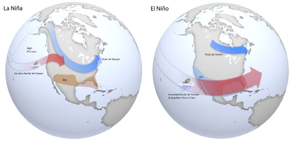
El Niño refers to a warming of the ocean surface, or above-average sea surface temperatures (SST), in the central and eastern tropical Pacific Ocean. Over Indonesia, rainfall tends to become reduced while rainfall increases over the central and eastern tropical Pacific Ocean. The low-level surface winds, which normally blow from east to west along the equator (“easterly winds”), instead weaken or, in some cases, start blowing the other direction (from west to east or “westerly winds”). In general, the warmer the ocean temperature anomalies, the stronger the El Niño (and vice-versa). While this type of warming and the impacts on global weather patterns can help disrupt the formation of tropical storms and hurricanes in the Atlantic Hurricane basin, it could help foster the development of such systems in the Pacific.

El Niño conditions could linger for a year, but sometimes longer. Conditions can start as early as March and peak in December. This event is called “El Niño”, Spanish for the Christ Child, which impacted Spanish speaking country’s weather and fishing industries around Christmas time.
La Niña refers to a cooling of the ocean surface, or below-average sea surface temperatures (SST), in the central and eastern tropical Pacific Ocean. Over Indonesia, rainfall tends to increase while rainfall decreases over the central and eastern tropical Pacific Ocean. The normal easterly winds along the equator become even stronger. In general, the cooler the ocean temperature anomalies, the stronger the La Niña (and vice-versa). The presence of this cooling usually leads to a quieter Central Pacific and Eastern Pacific hurricane basin during hurricane season, but could lead to above normal conditions in the Atlantic hurricane basin in hurricane season.
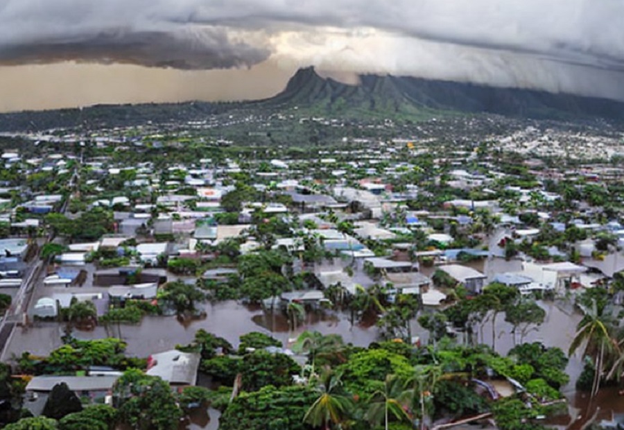
In Hawaii, which is entirely surrounded by the Pacific Ocean and directly impacted by ENSO, there could be significant impacts if El Nino materializes this year. The National Weather Service says there can be impacts to rainfall, trade winds, sea level, ocean conditions, and tropical cyclones in and around Hawaii. While there are other environmental conditions at play, the National Weather Service says an El Nino could generate more rain in the beginning of the season with rapidly less in a drier than usual wet- season. The trade winds can also be disrupted, with weaker and even occasionally westerly winds blowing across the state. With west winds, places that are usually dry could be more wet while places that are normally wet could be more dry than usual. The National Weather Service says sea level will be near to slightly above normal, with high run-up from distant swells. Ocean conditions will feature temperatures much warmer both at the surface and below the surface in the ocean waters around Hawaii. Lastly, El Nino increases the risk of tropical cyclones in Hawaii, allowing storms to form closer to and move towards the islands.