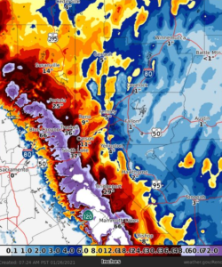
While California and Nevada continue to deal with the brunt of an atmospheric river event there which is dumping rain measured by feet and snowfall measured by yards, computer forecast models continue to show this system progressing across the United States and eventually becoming an east coast winter storm by the end of the weekend into the first half of next week. With global computer forecast models in fair alignment of a forecast solution that shows a storm impacting the eastern U.S. in the coming days, meteorologists believe odds are improving for a substantial snow threat in an area that hasn’t seen too much snow yet this winter.
While meteorologists have many tools at their disposal to create weather forecasts, two primary global forecast models they do use are the ECMWF from Europe and the GFS from the United States. While the models share a lot of the same initial data, they differ with how they digest that data and compute possible outcomes. One is better than the other in some scenarios, while the opposite is true in others. No model is “right” all the time. Beyond the ECMWF and GFS models, there are numerous other models from other countries, other academic institutions, and private industry that are also considered when making a forecast.
This afternoon, after many runs of not being aligned with output that shows the atmospheric river event evolving different ways, the American GFS and European ECMWF are nearly on the same page now, forecast-wise.

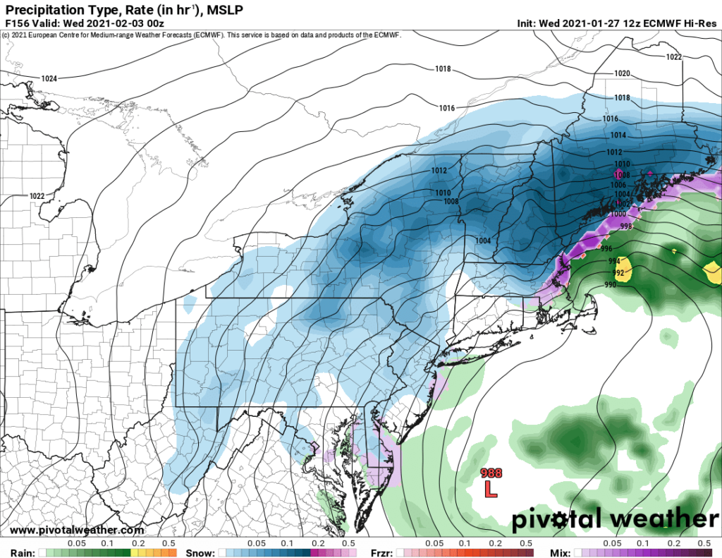
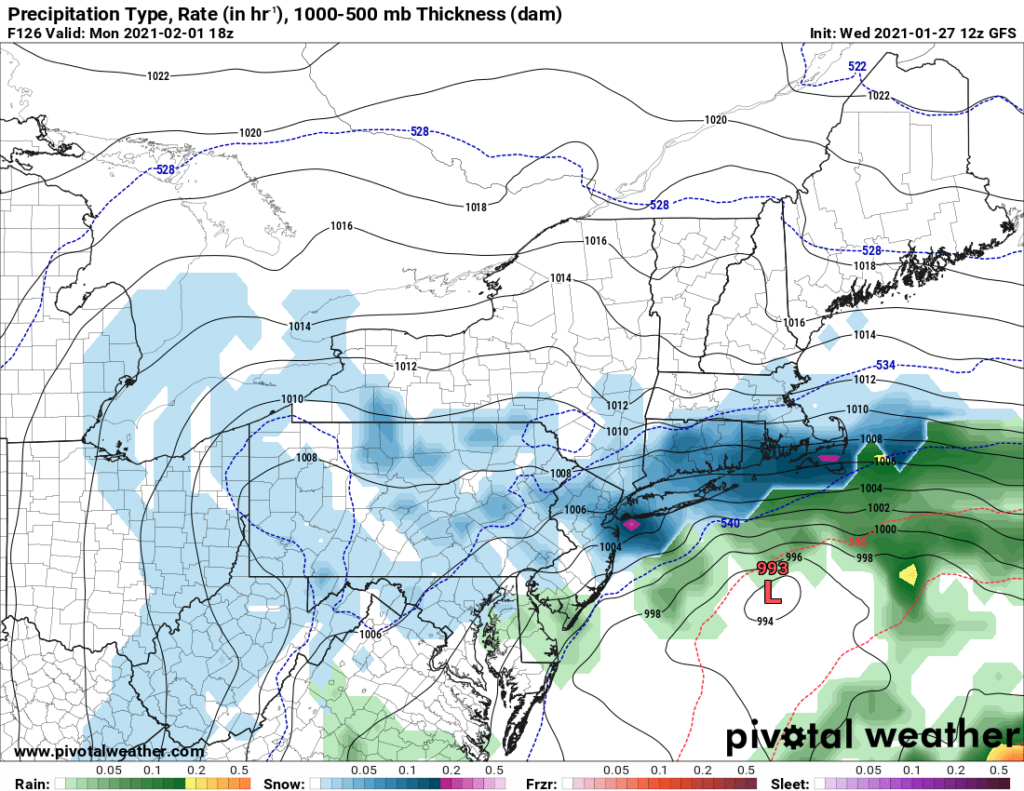
The models show the area of low pressure responsible for blizzard conditions in the western U.S. tonight moving across the country with time. By Sunday evening, the area of low pressure is over Kentucky as snow breaks out in portions of the Ohio River Valley and the Mid Atlantic near Virginia and Maryland. By midnight Sunday night, the ECMWF shows a stronger coastal low redeveloping in this system over the North Carolina coast. Meanwhile, snow expands north into Pennsylvania. On Monday, the coastal storm creeps northward, dumping very heavy snow over Virginia while expanding the field of snow north into Delaware, New Jersey, and the New York City metro area. By Tuesday afternoon, the ECMWF shows the center of the storm slowly moving to the north and east. Centered east of the Maryland coast by Tuesday afternoon, accumulating snow spreads from Virginia to southern New Hampshire and Maine.

However, unlike yesterday’s ECMWF model run that was colder and provided a more off-shore solution, both the ECMWF and GFS suggest a storm track closer to the coast today for next week. Such a storm track would bring milder maritime air into portions of the coast, especially Long Island, central and southern New Jersey, Delaware, and eastern Maryland. With milder air moving inland, precipitation could mix with or change to/from plain rain or an icy mix at times. If that were to come to fruition, accumulations of snow would be much lower there than if the storm stays farther off-shore.
Beyond Tuesday, the models diverge. The American forecast model spins the storm system south of Nova Scotia for a day or two before sending it east into the Atlantic; the European model keeps the storm stalled around the coast of Maine. Where these storms end up and how they move out will also influence not only the precipitation types and conditions during the storm, but how cold it could become once the storm exits.
It is still far too early to say whether either forecast model is right in its projections for the Sunday-Wednesday period. It is also too early to say which forecast model will perform better than the other for this storm. As more data is analyzed as the atmospheric river event impacts the western U.S. over the next 24 hours, some more details will come into focus on how this storm could evolve when it reaches the eastern half of the country.
Until then, people should become aware of the possibility of a high-impact, multi-day winter weather event in portions of the Mid Atlantic and New England. Other than being aware and being typically prepared for any winter weather, there is nothing else that should be done but wait …until forecasters have a better handle of how this storm system will evolve next week.