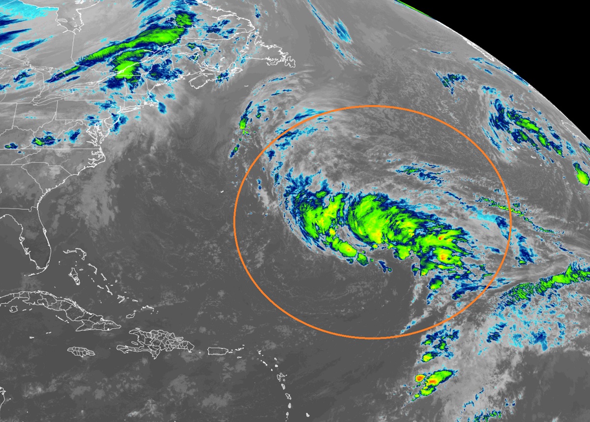
According to the National Hurricane Center’s (NHC) latest Special Tropical Outlook, odds have increased that a cyclone will take shape, evolving into an off-season tropical or subtropical storm over the next few days. While the Atlantic Hurricane Season ended for the year at the end of November, systems do form from time to time in the off-season which stretches from December through to the end of May.
The area being monitored for potential development is a very large area of low pressure located over the central subtropical Atlantic about 800 miles northeast of the northern Leeward Islands continues to produce a broad area of showers and thunderstorms.
According to the NHC, environmental conditions appear marginally conducive for development and a subtropical or tropical storm could form in the next couple of days. Yesterday, the NHC felt there was a 40% chance that development could happen; they’ve increased those odds to 50%, saying development could happen anytime over the next 48-72 hours.
While a system could form, it likely won’t have a long future. According to the NHC, by Thursday night or Friday, the low will move northeastward over cooler waters and interact with a mid-latitude trough, limiting any subtropical or tropical development of the system.
Because this system hasn’t been declared a tropical or subtropical storm yet, more storm specifics for this system are being provided in the High Seas Forecasts that are issued by the National Weather Service.