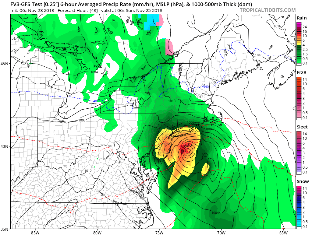
A potent overnight rain storm is likely for portions of the northeast late tomorrow into early Sunday.A very cold high pressure over the area today will move offshore tonight, allowing for much milder air to surge north and east up the U.S. East Coast. The high was responsible for breaking low temperature roads on Thanksgiving. Tomorrow, an area of low pressure will develop in the Mid Atlantic along a frontal boundary that will lift toward New York City area Saturday night. This low will move to the northeast Sunday as weak high pressure briefly builds across the region.
The low will rapidly deepen off the New Jersey shore, whipping up winds as heavy rain falls. However, much of the wind-driven heavy rain will fall during the middle of the night. Those near Philadelphia and New York will experience the worst near midnight Saturday night; Boston and southeastern New England will experience the worst rain and wind before breakfast time on Sunday. The system will quickly exit the coast, but will drop an inch to an inch and a half over a very short time before dawn Sunday.