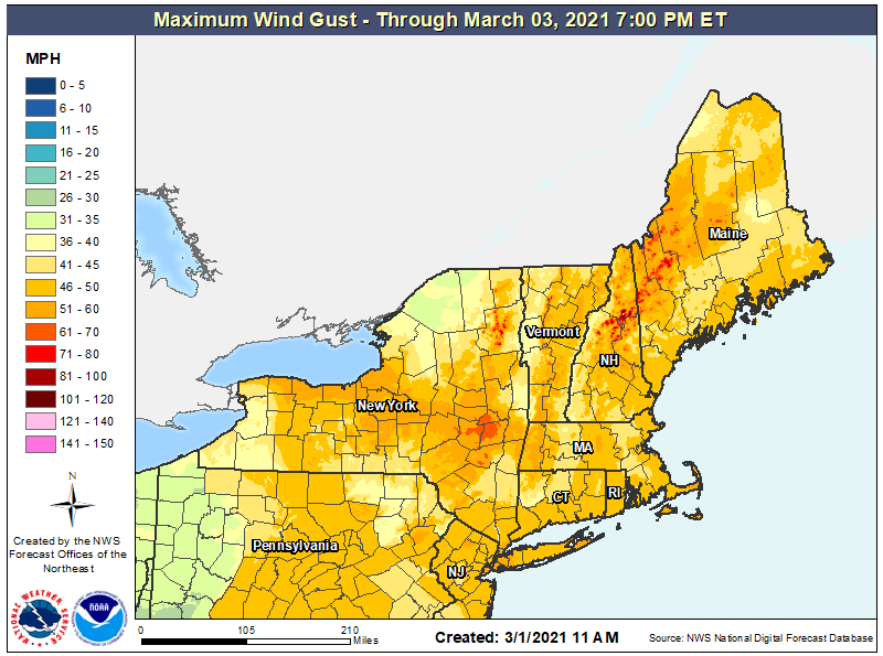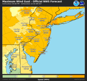
After a stretch of somewhat milder weather and rain, an approaching Arctic cold front will bring about a wind storm across portions of the northeastern United States tonight into tomorrow morning. Wind gusts to 50 mph are possible, along with the hazards that come with it: power outages, falling trees, and flying debris.

The Mount Holly, New Jersey office of the National Weather Service warns that the recent wet weather in New Jersey, Delaware, Maryland, and Pennsylvania could be problematic. “With mostly saturated soils, we may see slightly more impacts than usual given those wind conditions in the form of isolated power outages, loose items blown around, and or some trees uprooting,” they warn.
Right now, a cold front moving through the Mid Atlantic will continue to push rain to the south and out to sea to the east, but the bigger punch comes tonight. As this initial cold front pushes offshore, a low pressure system will track into eastern Canada, bringing a secondary Arctic cold front to the region tonight. It is this Arctic front that will whip up winds to a damaging potential.

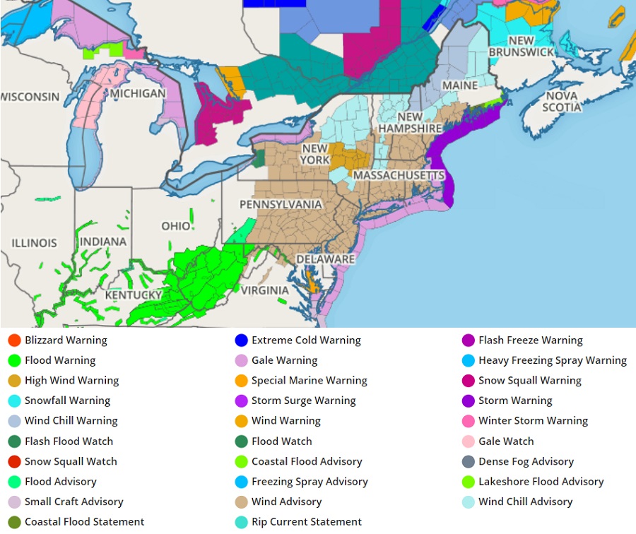
Due to the expected wind storm, the National Weather Service has issued a Wind Advisory for all of New Jersey, Rhode Island, Connecticut and much of Pennsylvania, Delaware, Maryland, New York, Vermont, New Hampshire, and Maine. An even more serious High Wind Warning is up over central upstate New York. In the High Wind Warning area, northwest winds 25 to 35 mph with gusts up to 60 mph are expected.
These fronts will help usher in high pressure tomorrow. A weaker cold front is forecast to move through the northeast late on Wednesday, but that too will be followed by another high pressure system which will provide another period of fair and dry conditions.