While a substantial storm system known as a “Kona Low” brings substantial rain and flooding across the state of Hawaii, some of the higher terrain on the Big Island of Hawaii is seeing precipitation fall as snow, forcing authorities to close some roadways there.
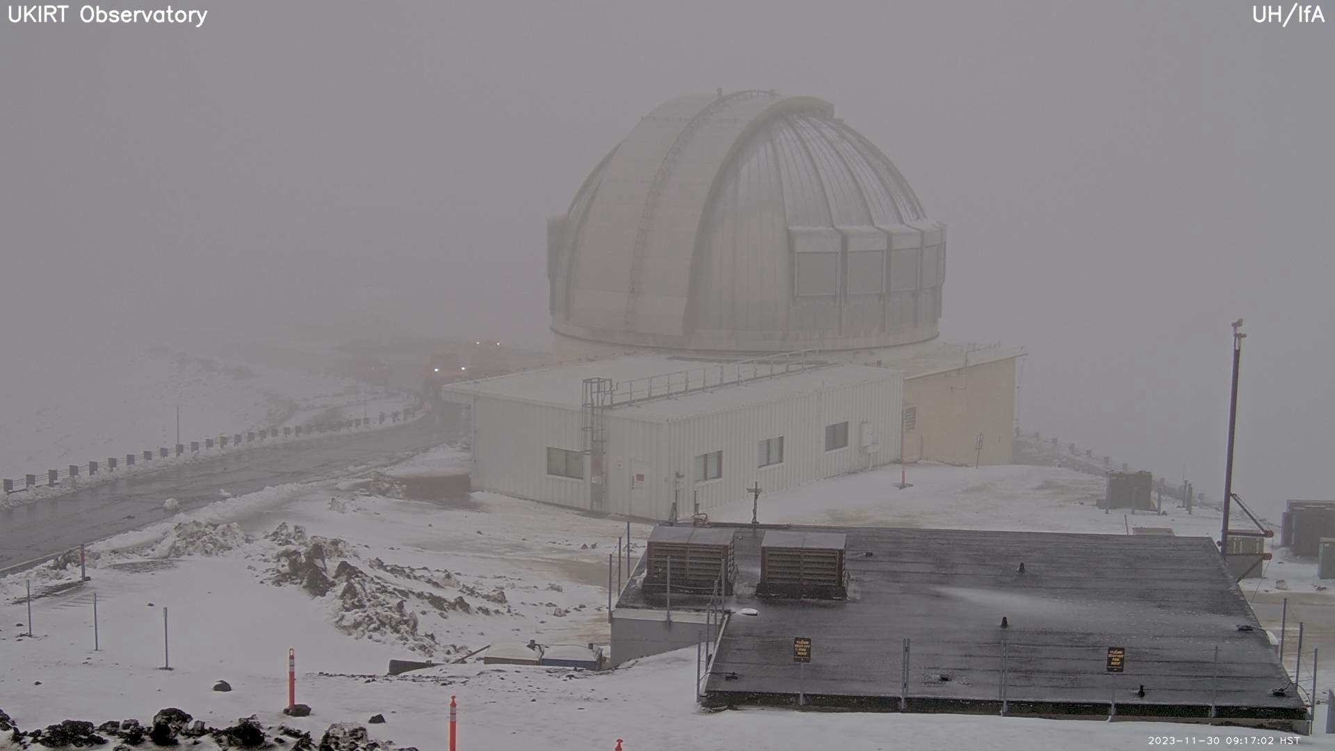
Rangers that monitor conditions around Mauna Kea, the highest of Hawaii’s volcanic peaks, announced the road closures in a morning update. “The road to the summit of Mauna Kea will remain closed to the public at the Visitor Information Station at an elevation of 9,200 feet due to high humidity, fog, flurries and icy road conditions…We will continue to monitor the summit road and weather conditions with updates to follow. We thank you for your patience and understanding.”
Roads on Mauna Kea were temporarily closed yesterday morning due to snow but plow crews were able to re-open all but one road. Now they’re all closed again and will likely remain closed into tomorrow.
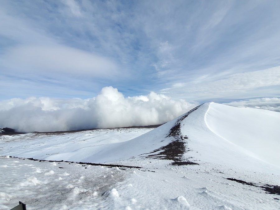
While most people don’t associate the tropical paradise Hawaii is known for with snow, they’re surprised to learn that it does snow in the winter due to the elevation of these volcanic peaks. Mauna Kea is the highest of the bunch at 13,803 feet. Maui’s Haleakala is much lower at 10,023 feet. Because of that difference, Hawaii Island will see snow more frequently than the lower Maui Island. Just one storm in January 2020 dropped 2-3 feet of snow on Hawaii Island and created snow drifts that were far deeper. Another storm in January 2021 brought snowboarders and skiers out to the mountain by the dozens.
Snowplow crews are busy clearing roads today in Hawaii that are being covered by #KonaLow snowfall. #HIwx https://t.co/PVvsCvzkhi
— the Weatherboy (@theWeatherboy) November 30, 2023
For this Kona Low, the snowfall isn’t expected to be too heavy because temperatures aren’t yet cold enough to support more significant snow. For now, snow accumulations up to 5″ are possible, prompting the National Weather Service to issue Winter Weather Advisories for the Big Island Summits. The Winter Weather Advisory has been extended by the Honolulu office, and now runs through 6 am local time (11:00 am Eastern) on Friday.
The Kona Low gets its name from the change in wind direction that occurs when such a storm moves over the Hawaii Islands. Hawaii is dominated by the trade winds that typically blow in from the northeast. However, the counter-clockwise flow around a Kona low located west of Hawaii results in southwesterly winds over the islands, which is typically the leeward or “Kona” side. Kona Lows are most common between October and April. These type of storms draw abundant moisture up from the warm tropical waters that surround Hawaii; when this moist flow interacts with the steep topography of the island which helps to wring-out moisture, extremely heavy precipitation can fall. Because the wind flow around a Kona Low is atypical, flooding rains occur in places that may not ordinarily flood in tropical downpours that impact the islands from time to time.
The Kona Low currently located west of Kauai will keep moderate to strong south to southeast winds in place through Friday. Winds will ease and shift back to typical trades this weekend as the Kona Low weakens into a broad trough west of the state and surface ridging redevelops to the north. The trades will gradually strengthen next week as a new high builds to the distant north and northwest. As this transition evolves, precipitation will continue into the weekend but diminish, with more typical showery conditions to return early next week.
