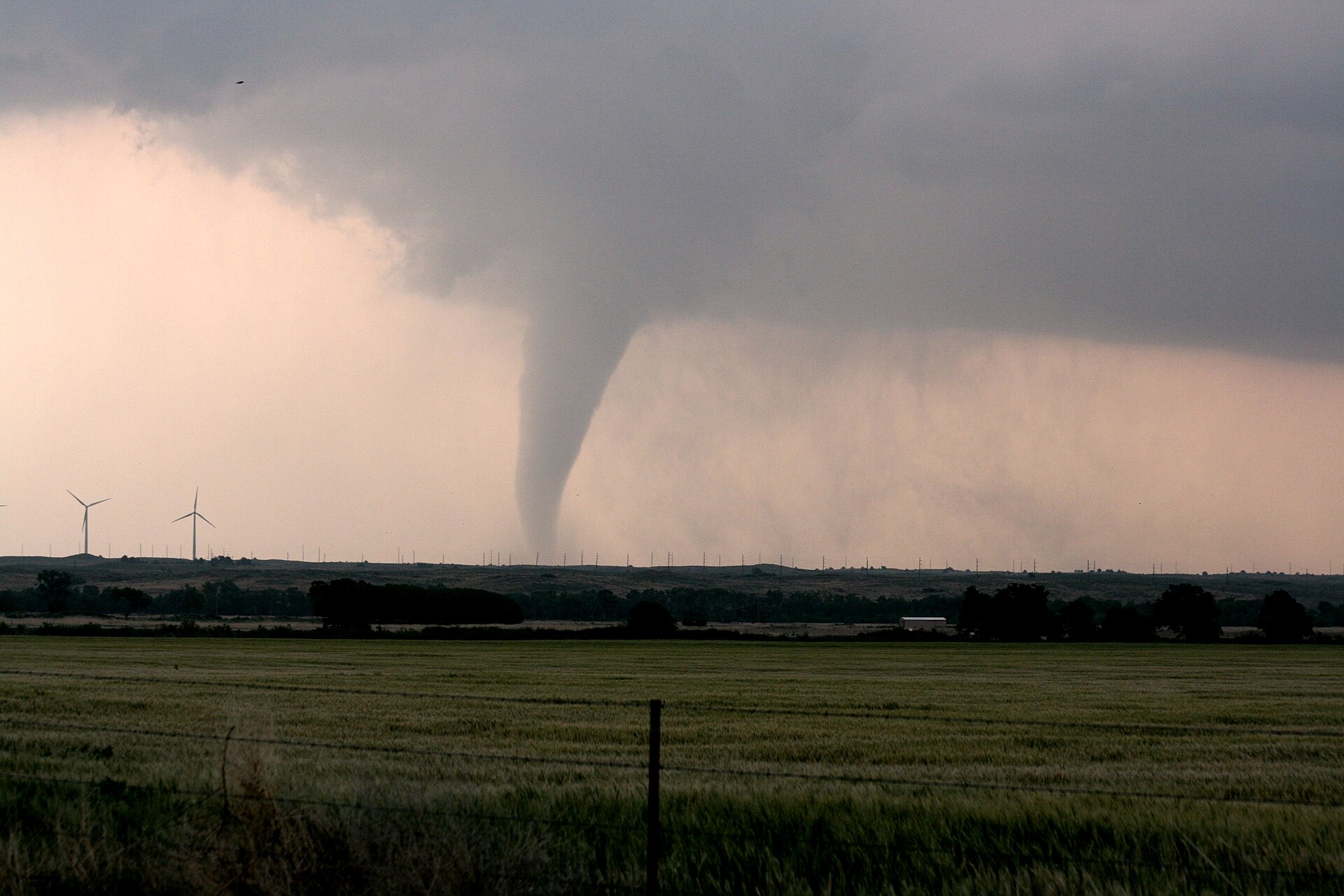
A powerful Pacific storm system is expected to unleash severe thunderstorms from New Mexico into the southern Plains from Sunday evening through Monday night, bringing the threat of damaging winds that could exceed 70 mph and a few tornadoes, federal forecasters said.
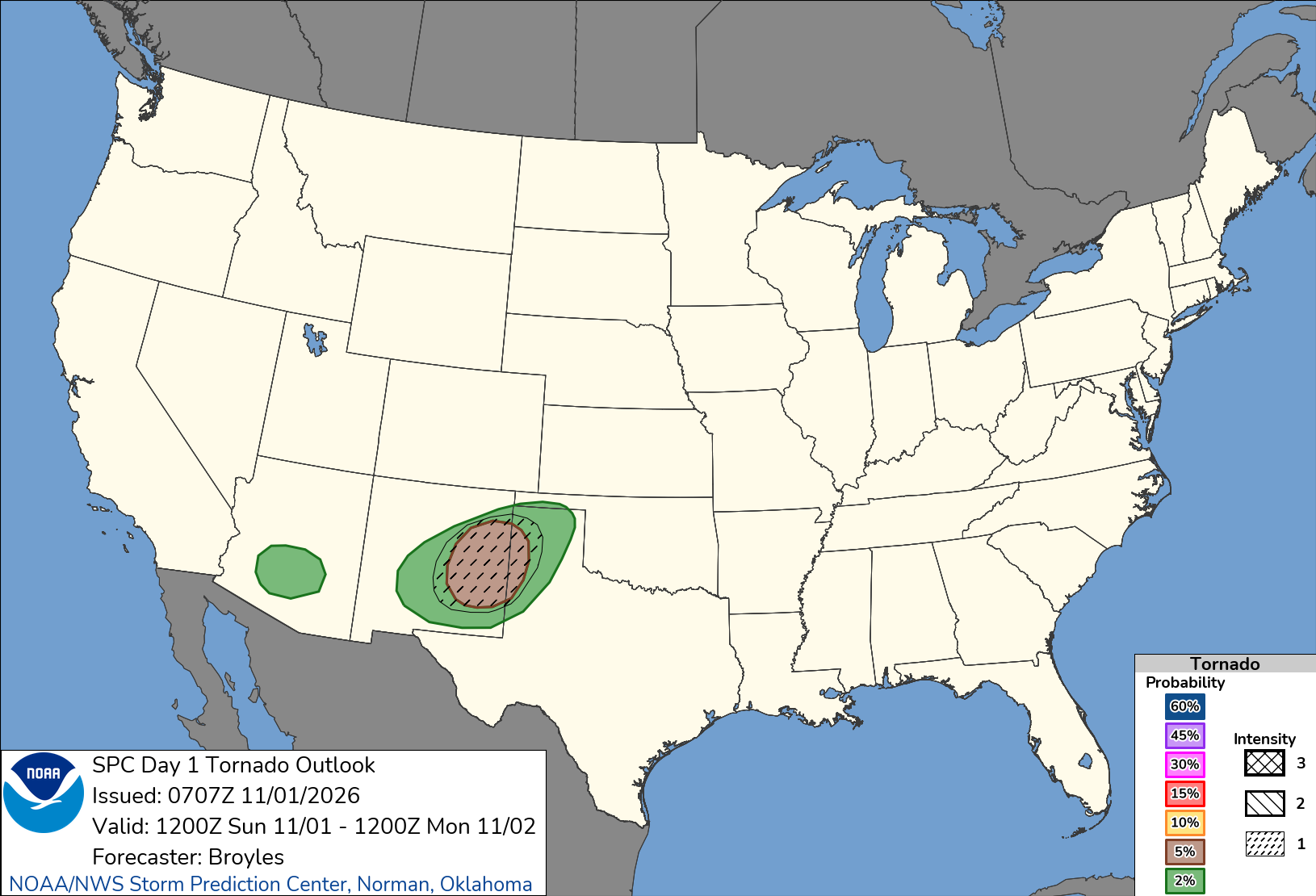
The Storm Prediction Center in Norman placed parts of eastern New Mexico and the west Texas Panhandle under a Slight Risk, level 2 of 5, for severe weather on Sunday. A broader Marginal Risk, level 1 of 5, stretched from southern Arizona across New Mexico into the Texas Panhandle.
“Thunderstorms associated with severe wind gusts and a tornado threat are expected this evening into tonight from parts of New Mexico northeastward into the southern High Plains,” the center said in its outlook issued at 1:07 a.m. CDT Sunday.
On Monday, the center’s Slight Risk shifts east to cover much of Oklahoma, northern Texas and south-central and eastern Kansas. “Scattered severe storms are expected across parts of the central and southern Plains late Monday afternoon into the evening, with damaging wind gusts and a few tornadoes the main threats,” the center said.
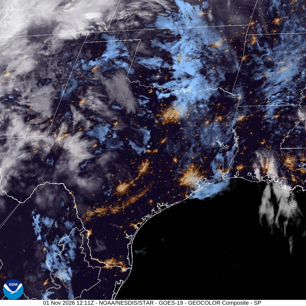
Sunday Evening: New Mexico and West Texas
The National Weather Service office in Albuquerque said a band of storms would form along a Pacific cold front that would enter western New Mexico around 1 to 2 p.m. and approach the Rio Grande Valley around 4 to 5 p.m., where more instability and strong wind shear would be waiting. The greatest threat of severe weather is from the Rio Grande Valley eastward, the office said.
“Storms will be capable of all hazards, but damaging wind gusts with any bowing segment and QLCS-type tornadoes or tornadoes from supercells embedded in the line are the main concerns,” the Albuquerque office wrote. A QLCS, or quasi-linear convective system, is a line of storms that can produce brief, hard-to-see tornadoes. The office said damaging gusts “could exceed 70 mph from bowing segments.”
“Folks across central and eastern NM should have more than one way to receive a warning today/tonight,” forecasters added.
KOAT-TV in Albuquerque designated Sunday an “Impact Weather Day” and told viewers that the hours to watch for the strongest storms are 4 p.m. to 11 p.m.
The Storm Prediction Center said forecast data from Roswell north to Clovis, New Mexico, showed strong wind shear, conditions that “will support a tornado threat with supercells that form within the large-scale band.”
“Severe wind gusts above 70 knots may occur with the faster-moving bowing structures,” the outlook said. “The severe threat may continue into the overnight period as the line moves northeastward into northwest Oklahoma and southern Kansas.”
The weather service office in Amarillo, Texas, said computer models showed a line of thunderstorms forming across New Mexico by early evening “and then racing to the east,” with some signs of long-lived rotating storms tracking from New Mexico into west Texas overnight.
Farther south, the Lubbock office said the overnight timing “generally does not favor severe weather,” but severe storms “cannot be completely ruled out.”
In Oklahoma, the Norman office said strong to severe storms could reach western parts of the state after midnight, with gusts up to 60 mph possible. The Wichita, Kansas, office said elevated storms could move into central and south-central Kansas between 3 a.m. and 6 a.m. Monday, with a few strong storms possible.
Monday: Oklahoma, Kansas and North Texas
The threat shifts east Monday as a deep upper-level trough moves out of the Rockies and into the Plains, the Storm Prediction Center said. The center said a surface low would deepen over central Nebraska while a dryline, the boundary between moist Gulf air and dry desert air, extends from central Kansas into western Oklahoma and west-central Texas by evening. Dew points in the mid-60s and a strong low-level jet stream of 50 to 60 knots are expected to feed the storms.
The center said capping from relatively cool air near the ground would inhibit storms for much of the day. Initial storms are expected to develop near the dryline from south-central Kansas into western Oklahoma and northwest Texas after 3 p.m. CST, with more storms forming through the evening.
“At the very least, initial cells would appear to have a tornado risk,” the center said. “A conditional risk of an EF2 tornado exists due to favorable shear, and depending on destabilization.” The center said storms may become more linear as they move across Oklahoma, north Texas and eastern Kansas, with instability decreasing after midnight.
The weather service office in Norman said strong to severe storms are possible from late Monday afternoon through Monday night, with a threat of large hail, damaging wind gusts and tornadoes. Forecasters said supercells were possible as storms first develop, giving way to “more linear line segments” with embedded supercells and the potential for QLCS tornadoes. Severe potential could linger toward sunrise in southeast Oklahoma, the office said.
Forecasters also flagged the potential for heavy rain, citing “near record PWATs,” or precipitable water, a measure of moisture in the atmosphere.
In Kansas, the Wichita office said the main area to watch for storms to redevelop Monday was west of a line from Salina to Wichita to Wellington between 3 p.m. and 6 p.m. Wind shear there would support organized storms “capable of producing severe weather with a few tornadoes possible,” the office said, before storms likely merge into a line with damaging winds becoming the main hazard.
Wind and Cooler Air Follow
Behind the storms, strong winds are expected across the high country. The Albuquerque office issued a wind advisory for Johnson and Bartlett mesas, including Raton Pass, where gusts upwards of 55 mph were possible. The Midland office issued a high wind watch for the Guadalupe Mountains for Monday, with westerly winds of 40 to 50 mph and gusts to 65 mph.
A cold front will sweep across Oklahoma and western north Texas on Tuesday, the Norman office said. After highs in the upper 70s to mid-80s Monday, Tuesday’s highs were forecast to range from the mid-60s in northwest Oklahoma to the mid-70s in the southeast. KOAT said Election Day on Tuesday would be drier and quieter in New Mexico.
